


TALLAHASSEE, Fla. (WTXL) — The Spring conditions are here to stay throughout the next seven days with lots of sunshine, little rainfall, and warm temperatures.
The rest of the afternoon and evening will remain clear with a warmer night ahead. Overnight lows will stick to the 50s and maybe even a few 60s in isolated spots.
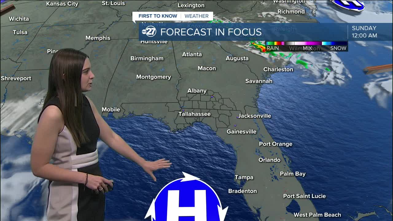
Sunday morning will feature hazy conditions as prescribed burns are providing reduced visibility. This will continue through the next few mornings and eventually may mix with some fog come Monday and Tuesday which could reduce visibility even more. This has also dropped the air quality across the area.
Isolated showers pop up Tuesday associated with a cold front. As of now, we are expected light, isolated showers, nothing heavy. A few showers could linger into Wednesday, but the best shot for any rainfall would be Tuesday.
That cold front drops temperatures slightly, but they will rebound right back into the mid to upper 80s by the end of the week.
Want to see more local news? Visit the WTXL ABC 27 Website.
Stay in touch with us anywhere, anytime.
