

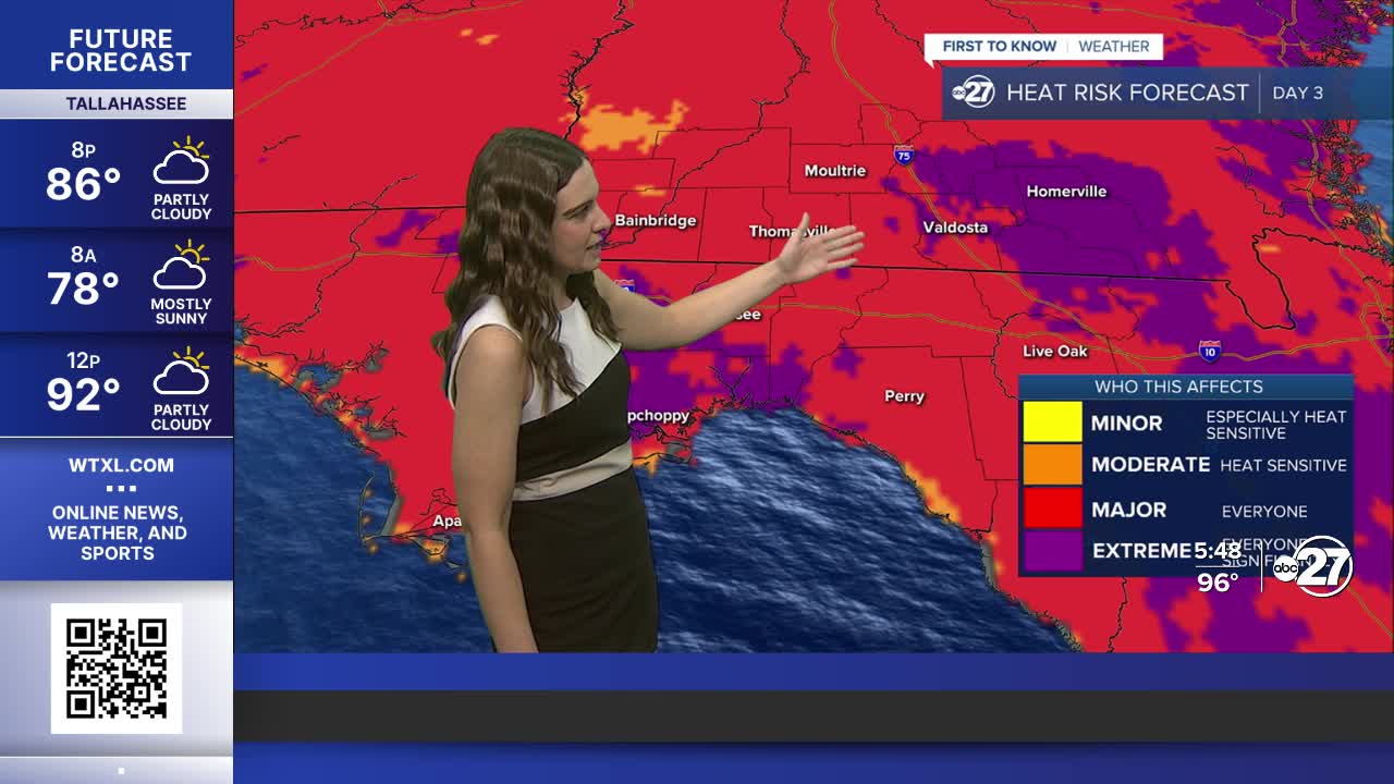


TALLAHASSEE, FL (WTXL) — The heat isn't going anywhere as a high pressure continues to be stationed just to our south. Plenty of moisture is in place, and when mixed with the heat, feels like temperatures soar.
A few strong storms will continue to work their way along I-75 throughout the evening but diminish soon after sunset. Then, through the rest of the night, clouds will linger as temperatures drop to the upper 70s, but feel a lot more like the 80s.
Into Thursday, spotty showers are expected with even hotter temperatures. A Heat Advisory is in effect from noon to 8 p.m. Thursday as temperatures will be in the upper 90s for most with heat indices climbing to 111° or higher.
The heat will follow into the weekend where we will see a slight increase in rain coverage. Any outdoor plans don't have to be canceled, but have a back up.
The tropics continue to be active as we now have Tropical Storm Cristobal in the northern Atlantic moving quickly towards the east. We are also closely monitoring two waves moving towards the Caribbean with high chances for development, but as of right now, neither pose a threat to the Big Bend.
Want to see more local news? Visit the WTXL ABC 27 Website.
Stay in touch with us anywhere, anytime.
