

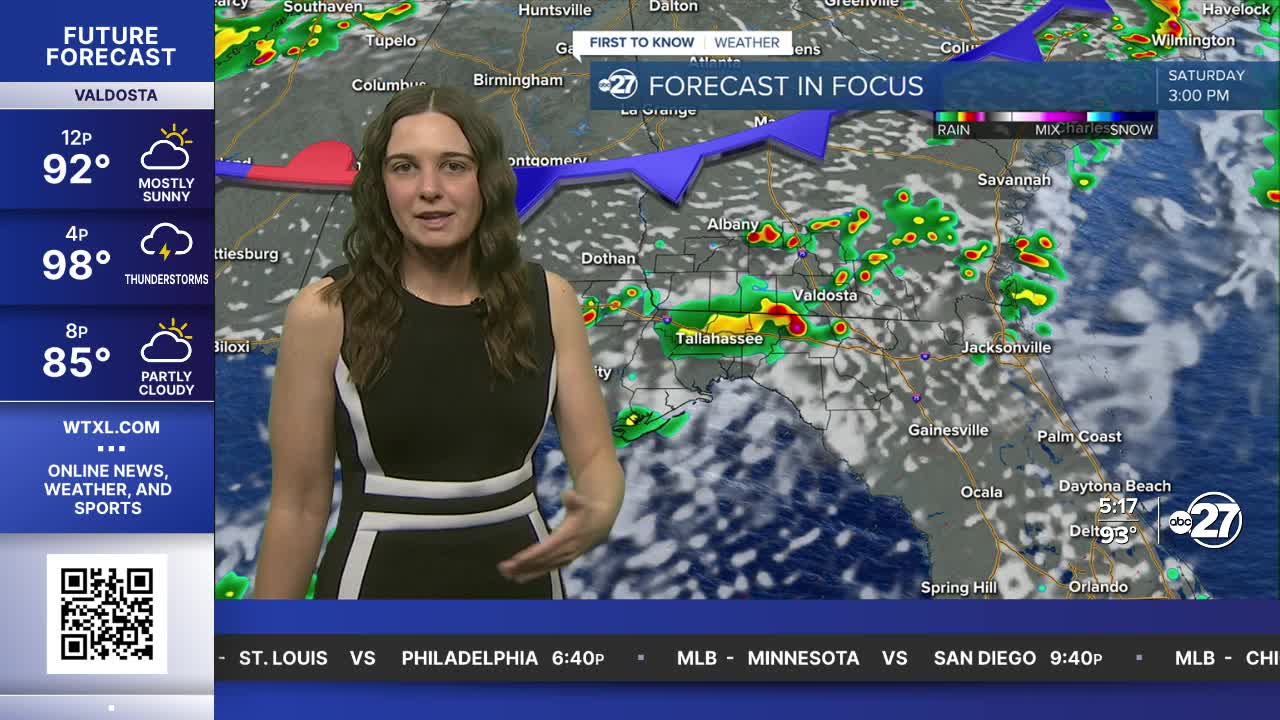


TALLAHASSEE, FL (WTXL) — Friday afternoon and evening will be filled with scattered showers and storms yet again. Temperatures will quickly fall for those who see the rain and hold on the lower side through the night.
Eventually, everyone will drop to the low to mid 70s.
South Georgia and parts of the tristate region are in a Marginal risk for severe weather throughout the rest of Friday. The main hazards are gusty winds (60 mph), frequent lightning, and heavy downpours.
Due to clouds and more rain activity, Saturday's temperatures will be held in the lower 90s for most. An approaching front is to thank for the increase in rain coverage. However, the front won't be lingering for too long. Come Sunday, drier air will sneak in, allowing for more sunshine with showers becoming more isolated/spotty.
So, if you are wanting to get outside this weekend, it is safe to say that Sunday will be your best bet.
Temperatures will get back into the mid to upper 90s Sunday afternoon and continue into Monday but with slightly drier air, it won't feel as humid and feels like temperatures will not be allowed to climb as high.
The scattered rain coverage will slowly return throughout the week next week.
Want to see more local news? Visit the WTXL ABC 27 Website.
Stay in touch with us anywhere, anytime.
