


TALLAHASSEE, Fla. (WTXL) — The anticipated dry and stable weather for the Easter weekend has arrived, with high pressure over the Gulf region, and the northerly winds today keeping the dry air flowing in. This will set us up for decent conditions this evening for typical Friday night activities or Good Friday services.
The clear sky and limited winds will promote steady cooling, with readings later tonight falling through the 60s and 50s. Saturday morning lows will be in the low to mid 40s. A low chance for isolated patchy frost exists in the coldest outlying areas around sunrise.
Some upper-level clouds will move through in the morning and scatter through the afternoon, so it won't be entirely sunny for all, but still bright enough with that periodic cloud layer. Highs will still manage to top out in the mid 70s coast to near 80° inland.
Easter Sunrise features a bit of patchy fog, but the sun will be visible in all areas. Morning temps start off in the lower 50s. Daytime temps will be in the low 80s with a partly cloudy sky and no rain chance.
We'll lean warm for early next week before a midweek front comes through, giving us the next round of showers and a few thunderstorms. We're not done with cool-air doses yet, as readings late next week are forecast to fall again.
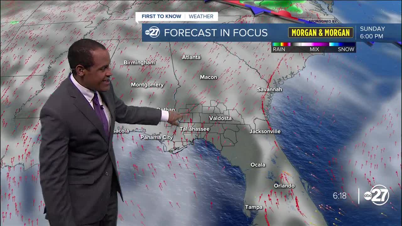
--Casanova Nurse, Chief Meteorologist
