


TALLAHASSEE, Fl. (WTXL) — Warm, muggy conditions are expected throughout the next few days as a low pressure system takes its time moving east.
We will be flirting with record high temperatures as daytime highs will be in the 80s with high humidity levels due to wind coming in from the south. This pushes moisture in from the Gulf, increasing dew point temperatures.
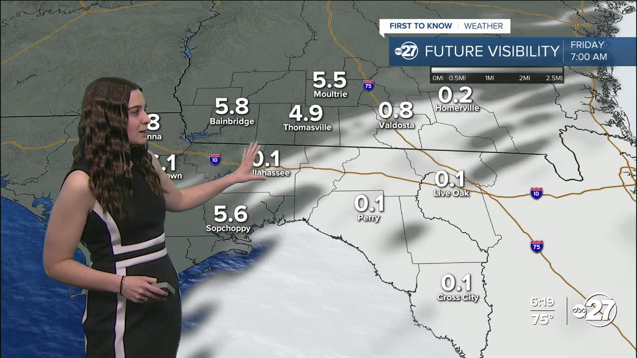
Showers will also be in and out for the next few days. A cold front will dip down just close enough to provide shower activity throughout the day Friday. However, the front will not pass through our area.
The front we are looking at will come through Saturday. It will bring showers ahead of it throughout the weekend, but then temperatures will take a tumble.
Overnight lows will go back down to freezing and daytime highs will hold in the 50s and 60s. So don't put those jackets away just yet!
Want to see more local news? Visit the WTXL ABC 27 Website.
Stay in touch with us anywhere, anytime.
