
UPDATE (11p.m. 09/12/2018) -- A slight weakening trend was noted, and Florence's peak wind speeds are reduced to 110 mph late Wednesday night. That takes Florence into Category 2 strength. Most of the rest of the projections regarding movement and impact remain intact.
MIDWAY, Fla. (WTXL) -- Hurricane Florence remains as a major storm and a major concern for several U.S. East Coast states as it continues on its west-northwest path for the time being.
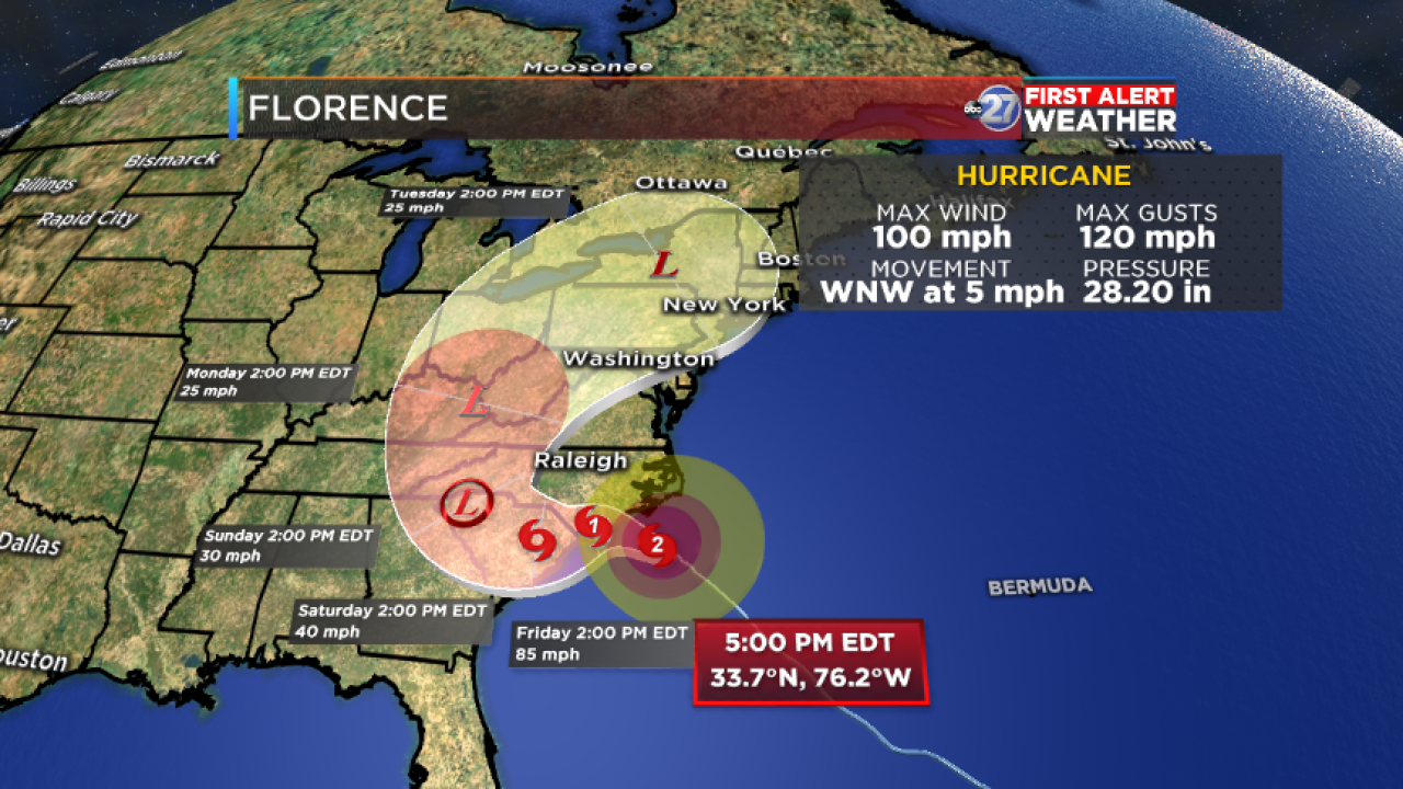
Florence is less than 500 miles from Wilmington, North Carolina with peak winds of 120 mph. It is moving northwest at 16 mph.
Florence will maintain its major-level strength through its projected landfall somewhere near the South or North Carolina shore. Devastating wind and storm surge is likely along the same stretch of coast, especially if Florence meanders offshore or drifts to the west or southwest.
Forecast projections depict Florence slowing down near the Carolina coast, possibly prolonging maximum wind and rain impacts for the immediate coastline. An slight drift to the southwest is possible as high pressure to its northwest creates a lack of steering flow for the hurricane.
Flooding rain is possible for the Carolina coast, as well as inland parts of the mid-Atlantic and perhaps even northeastern Georgia, depending on where the leftovers of the hurricane move in the Southeastern U.S.
Florence's effects in the local area will be indirect, and mainly in the form of drier air and northerly winds (most, if not all, of which will be well below storm force), setting up a dry, warmer pattern for northern Florida and southern Georgia this weekend.
