


TALLAHASSEE, FL. — It is a calm day today. Temperatures to start will be in the mid 30s to the mid 40s. You will still want to have at least a jacket as you head out today, but you will not need it by the afternoon. Temperatures will climb above average to the upper 60s and low 70s. We will stay above average from this afternoon through all of next week. Clouds will build through the day, but to start we should be fairly sunny.
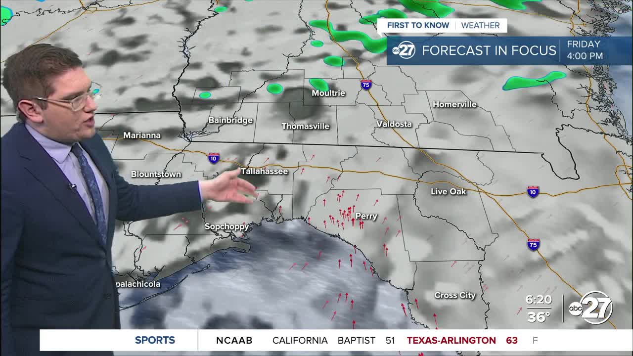
Changes come tomorrow as a cold front sweeps through. While there is a chance of showers all day, storms will be likely by the afternoon. We expect the strongest storms to cross the Big Bend and south Georgia from around 2 P.M. to 6 P.M. We are in marginal risk (level 1 out of 5) for severe weather. This means one or two severe storms are possible. These storms will be isolated, and move quickly through the area. The main threats with these storms will be strong gusts, and possible hail. While the chance for tornadoes are low, they cannot be fully ruled out.
While Saturday will likely be a washout, Sunday will be much calmer. Even though we drop in temperatures after Saturday's front, we will still be above average for the afternoon.
Want to see more local news? Visit the WTXL ABC 27 Website.
Stay in touch with us anywhere, anytime.
