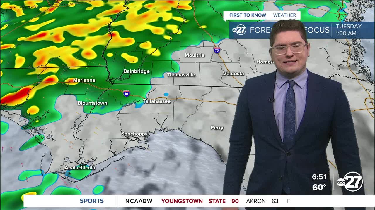


TALLAHASSEE, FL. — A change from the same old routine today, with a decent chance for scattered showers.
Skies will be cloudy throughout the day, with temperatures starting in the low 60s to mid 50s. By the afternoon, our highs should be closer to average, in the low 70s and upper 60s. Showers may come and go during the day, but they will increase overnight and continue into tomorrow morning. There is a marginal risk for severe weather (1 out of 5), so some stronger storms could be possible as we begin our day tomorrow.
The heaviest rain will be focused along our northwestern area, with most of the rainfall expected in South Georgia. Those areas could receive more than one inch. The southeast near the coastline will likely receive the least amount of rain with this system. On average, the Big Bend and South Georgia should receive around 0.25 to 0.75 inches.
Another round of rain may arrive at the end of the week, but conditions can change, so stay with us for updates.
Want to see more local news? Visit the WTXL ABC 27 Website.
Stay in touch with us anywhere, anytime.
