


TALLAHASSEE, FL. — Today starts off freezing in the low to mid 20s. The sun does shine in full force, so we do get warmer, but still below average by the afternoon. Highs will likely be in the mid to upper 50s for today.

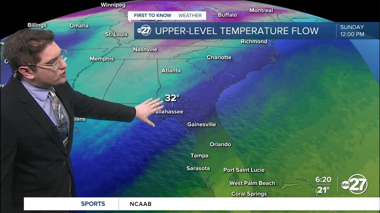
This weekend still has a lot of uncertainty, but what we do know is that there will be clouds and showers Saturday, and rain all day Sunday. The chances of a wintry mix start Saturday night into Sunday, and can last until Sunday afternoon. Temperatures by the afternoon Sunday will be in the upper 40s which is beyond warm enough for just rain.
However, earlier in the day we will be in the mid to upper 30s. This could be cold enough, if the air the rain is falling in is cold enough. The column of air from the cloud to the ground is the biggest factor of what we have to look at for this potential wintry mix.
Regardless there will be no accumulation, but some ice has the potential to form long after the rain is gone, as we plummet into the mid 20s Sunday night into Monday morning.
This is still a changing forecast so stick with us for any updates.
Want to see more local news? Visit the WTXL ABC 27 Website.
Stay in touch with us anywhere, anytime.
