

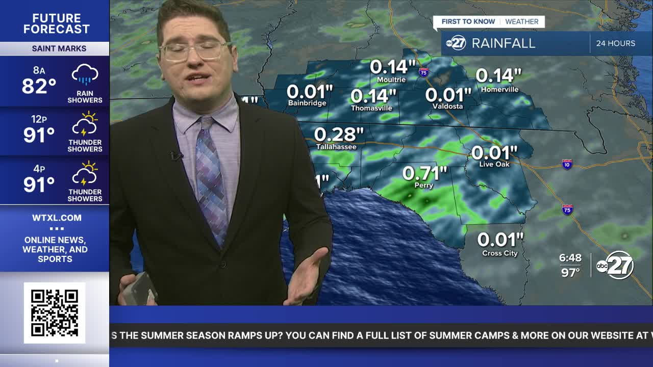


TALLAHASSEE, WTXL. — Showers and thunder are popping up around the coastline, and will continue to form much like it did yesterday. Temperatures to start are in the upper to low 70s. It is muggy again today, with the heat index around 105° or higher for many.
Storms can become more frequent, or even become stronger, as the afternoon rolls along. Temperatures this midday will be in the upper 80s, and peak in the low 90s before the storms are expected to cool us off. These should taper off after the sun sets.
High pressure will take control tomorrow lowering the rain chances, and increasing temperatures. The rain will return over the weekend as a cold front will push south into our area.
Want to see more local news? Visit the WTXL ABC 27 Website.
Stay in touch with us anywhere, anytime.
