

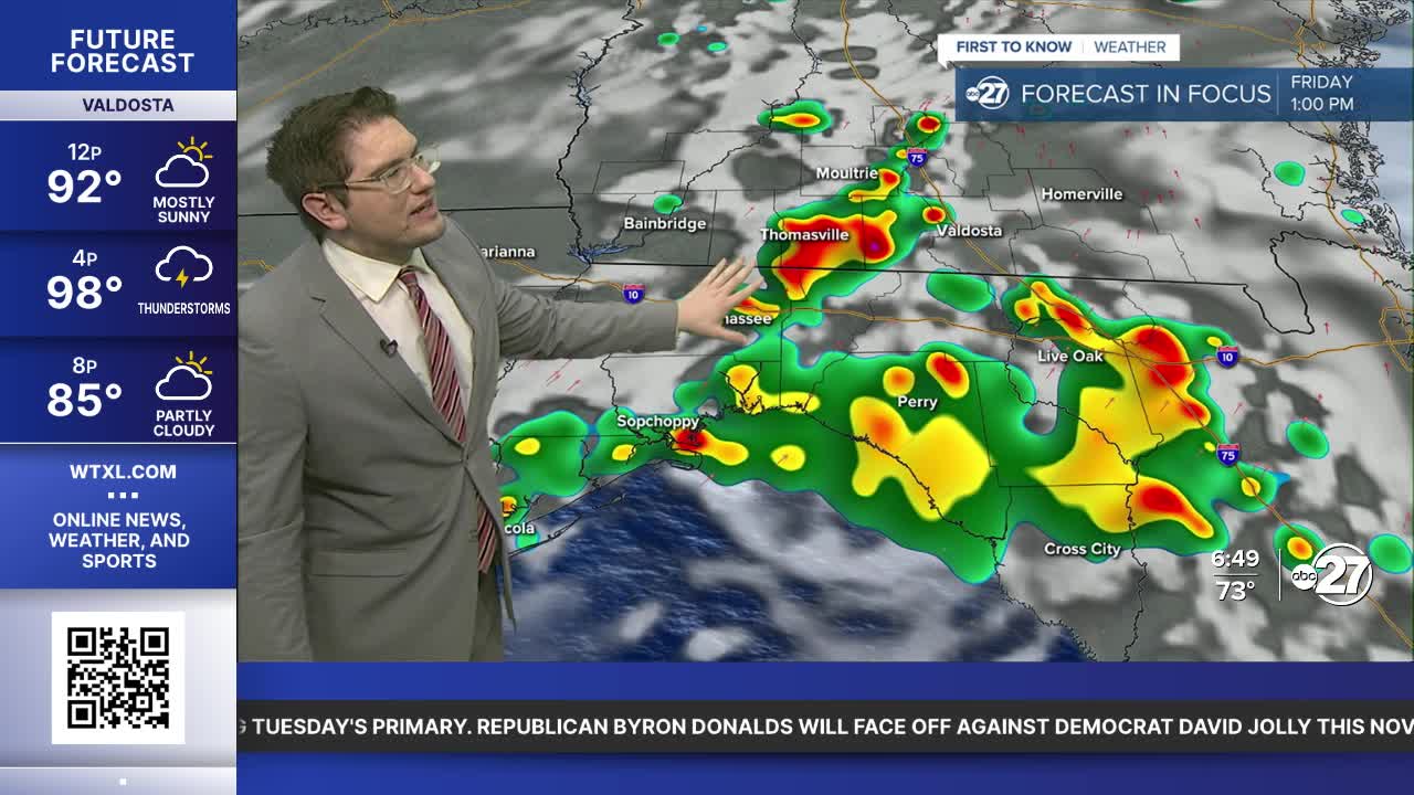


TALLAHASSEE, FL (WTXL) — Today is shaping up to have a great morning. Temperatures are starting off in the mid to low 70s again today, and skies will be mostly sunny as well. There will still be some lingering humidity, but highs are more reasonable in the mid 90s. We are once again in a Heat Advisory from 11 A.M. until 8 P.M. The heat index can reach as high as 112° for some today.
Rain and storms can start as early as 12 P.M. and they will likely cool us off. Stronger storms can form past 3 P.M. with a chance of severe weather until around 8 P.M. We are in a Marginal Risk (Level 1 out of 5) for severe weather through our South Georgia counties. It is possible that can be extended into Florida this afternoon. Our main threats are strong gusts and frequent lightning. Tornadoes are not likely.
Despite more storms Saturday afternoon is not expected to be a washout. Saturday morning and evening should be clear of rain. Sunday has an even lower chance of rain as drier air sets in. Even so isolated thundershowers are still possible Sunday afternoon, but that is standard summer weather.
Want to see more local news? Visit the WTXL ABC 27 Website.
Stay in touch with us anywhere, anytime.
