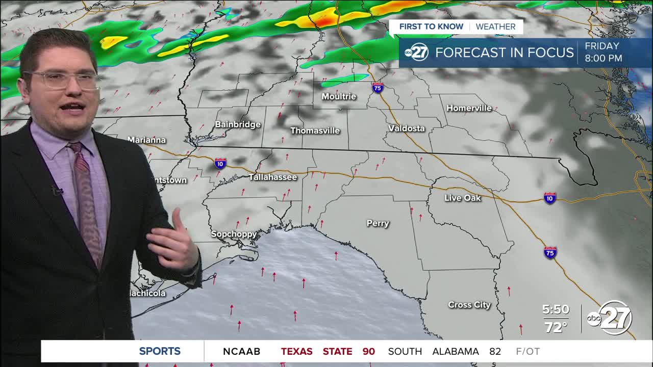


TALLAHASSEE, FL. — Today will be a day much like yesterday, but with more humidity. Walking outside this morning feels like walking into a blanket, temperatures are even in the low 70s to upper 60s. Clouds will once again dominate the skies, but like yesterday there will be some sun. Showers are possible in the afternoon, and thunder cannot be ruled out. Highs this afternoon could match, or break, the current record of 82° set in 1991.
Storms and showers are popping up throughout Saturday. These can start in the afternoon, but will be very randomized and scattered. There is a higher chance of stronger storms overnight Saturday into Sunday.

While we are in a Marginal Risk (Level 1 out of 5) for severe weather, the real threat seems to be toward our north outside of our area. That being said a strong storm can still move through past midnight Saturday into Sunday. The main threat would be Strong/Damaging Wind Gusts. There will only be a few showers left over by Sunday morning, with sun by the afternoon. The better day for outdoor plans would be Sunday if you can move them.
Want to see more local news? Visit the WTXL ABC 27 Website.
Stay in touch with us anywhere, anytime.
