


TALLAHASSEE, FL. — The cold is coming, and it will be settling in for the mornings.
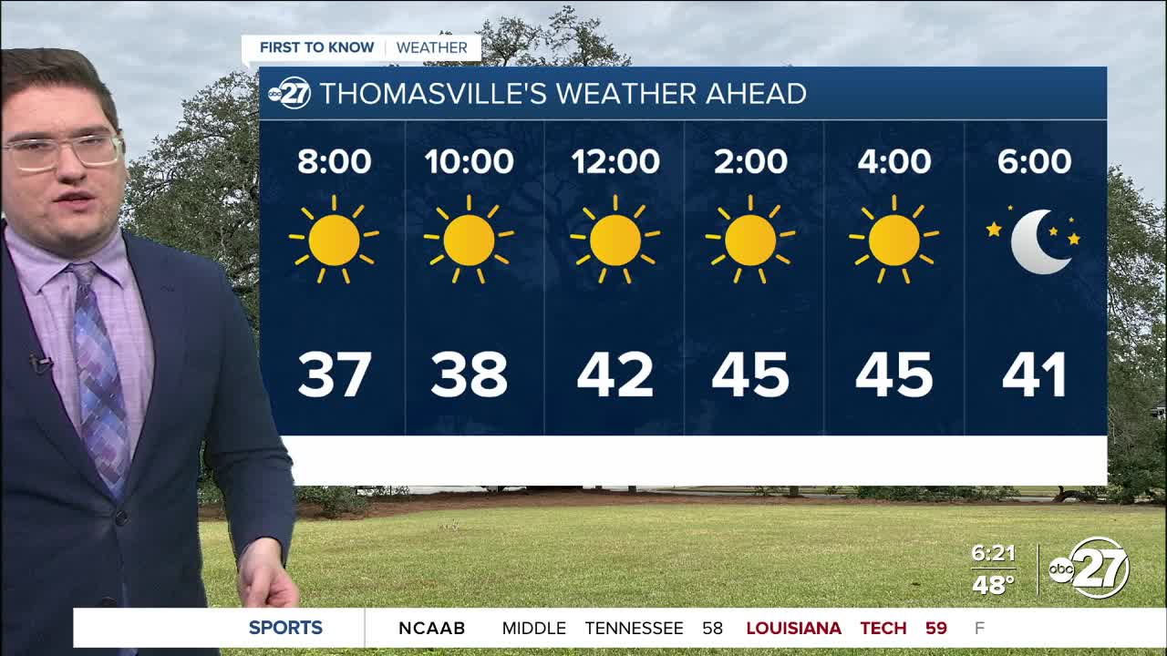
This morning temperatures are slowly dropping as the cold front moves overhead. We will go from the low 50s into the low 40s as that front passes. This afternoon will not be much warmer, despite the sunny skies. Temperatures this afternoon will likely remain in the 40s. The strong winds we have this afternoon will keep the feels like temperature in the 30s for much of the area. The bigger story is the drop in temperature from this morning to tonight.

Tonight we will be in a freeze warning. Temperatures will drop into the low to mid 20s. Luckily the wind will die down so a harsh wind chill will not be a threat tomorrow morning. While we do warm into the weekend, temperatures in the morning will stay frosty and freezing in the 30s. Another front will push through through Sunday. This could have the potential to drop some flurries or slush in the early morning hours. As of now it will likely be a rain event all day long. Rainfall totals could be around a quarter to half an inch. The event itself will likely start as early as 3 A.M, and it would be this time until the late afternoon that has potential for a wintry mix. If anything sticks, it would be washed away by warmer rain in the late afternoon. Freezing overnight, could cause patchy areas of ice.
We want to stress that this is a changing forecast, and that everything needs to be perfect in order to see any kind of winter precipitation. If we do get any flurry, ice, or slush, it would melt as soon as it hits the ground.
Want to see more local news? Visit the WTXL ABC 27 Website.
Stay in touch with us anywhere, anytime.
