


TALLAHASSEE, Fla. (WTXL) — With a zone of high pressure atop the Chattahoochee River valley, our weather conditions will remain stable and only slightly shifting over the next 24 hours or so.
This evening will be generally clear, and the nighttime winds will be calmer. This setup allows for rapid cooling at night, getting temps from the mild 70s early to the 50s before midnight.
Morning lows inland will drop into the 40s once again, the coolest stretch we've had since mid-April. Coastal and beach areas will be closer to the 50s.
The high-pressure area will slide to the east Friday but not trigger much different weather conditions for the region. Upper-level moisture will streak overhead, producing thin cloud cover that can filter out the sunlight partially. No rain will occur. Daytime highs will rebound to the lower 80s.
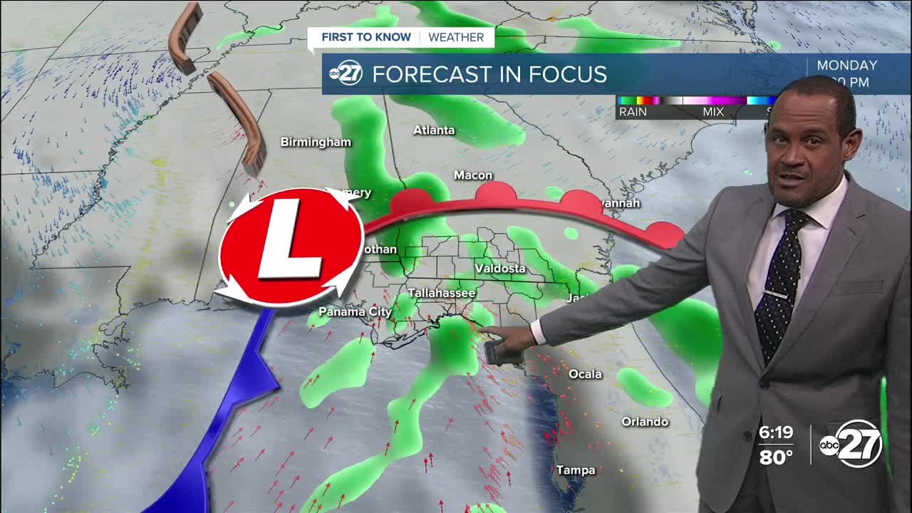
The weekend will have scattered clouds blended in with times of sunshine. Saturday will be dry with highs in the low to mid 80s. Moisture will gather more on Sunday, but local rain chances are likely to hold off until late in the day or more so into the evening hours. Monday will provide the broader opportunity for rain and thunderstorms as a disturbance slides through the region from the west.
--Casanova Nurse, Chief Meteorologist
Want to see more local news? Visit the WTXL ABC 27 Website.
Stay in touch with us anywhere, anytime.
