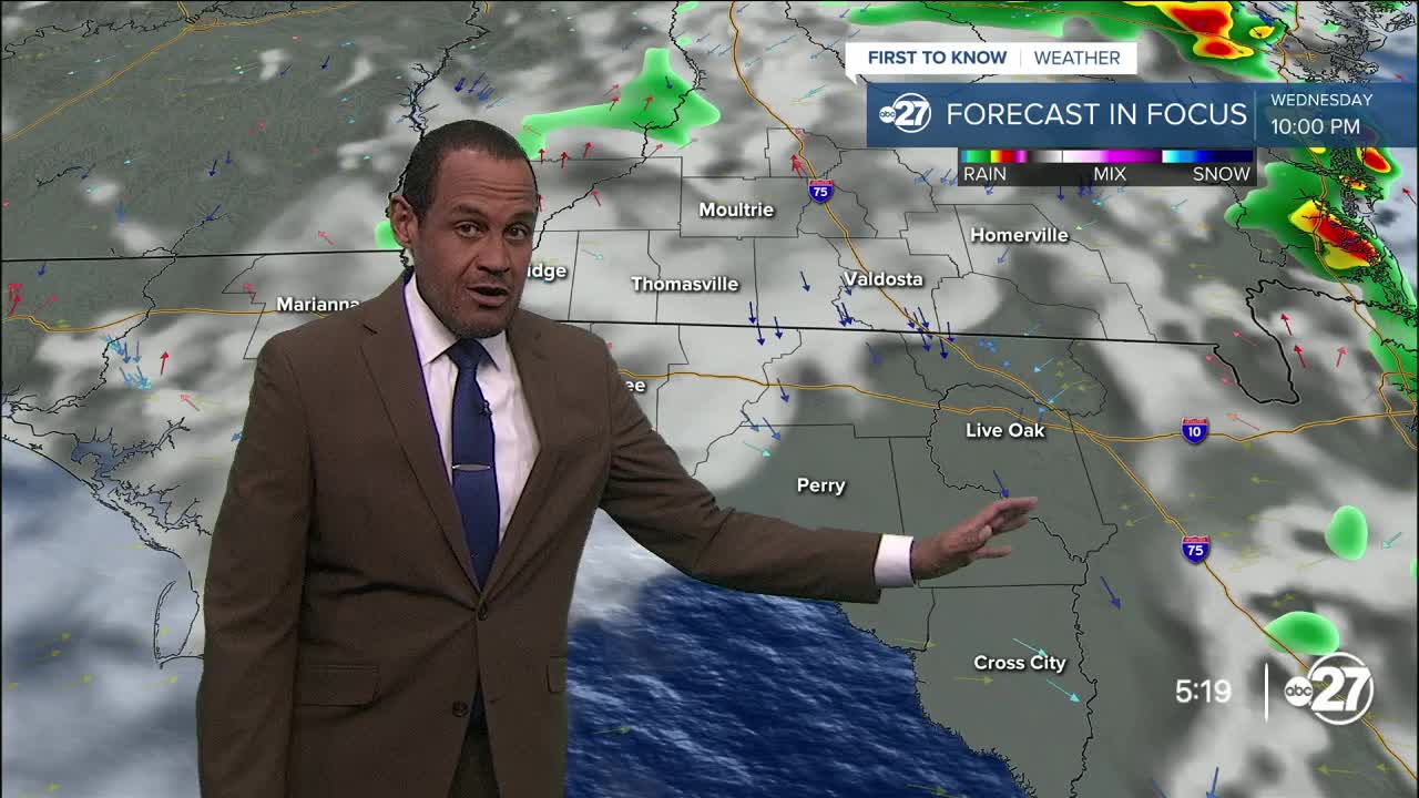


TALLAHASSEE, Fla. (WTXL) — Our active weather pattern supports frequent showers and storms, but none of them have been particularly long-lasting or slow-moving. A decent amount of rain has fallen in select areas, contributing to rain totals between one and six inches since the weekend. While flooding issues have been minimal, downpours on soggy ground can still cause times of nuisance flooding or inundation in affected areas.
Evening rain will be focused north of Interstate 10, isolated elsewhere after sunset. There will be variable amounts of clouds overnight. Temperatures will go from the 80s to the 70s through the night, turning into lows in the mid 70s.
The combination of available moisture and a weak but stretched-out disturbance nearby will promote times of clouds mixed with sun a few hours after sunrise, and more showers and storms forming by midday across the region. The coverage will be scattered but rain will be locally heavy again with isolated stronger storms. With periodic cloudiness, highs will be limited to the upper 80s and lower 90s, which is close to seasonal averages.
We have ongoing higher opportunities for daily showers and storms, affecting different locations at different times. Wind flows will shift and become northeasterly, which may favor numerous scattered showers and storms around and south of the state line for the end of the week.
A flood watch remains in effect through Wednesday in Miller, Baker, and Mitchell counties in interior southern Georgia.
--Casanova Nurse, Chief Meteorologist
Want to see more local news? Visit the WTXL ABC 27 Website.
Stay in touch with us anywhere, anytime.
