

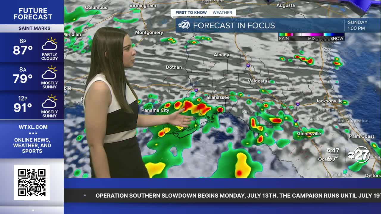


TALLAHASSEE, Fla. (WTXL) — Consistent southwesterly wind flow will continue to push moisture into the area throughout the rest of Saturday and the weekend, allowing for an increase in shower and storm coverage.
We've stayed mostly dry through Saturday afternoon, however, activity is expected to begin popping up in the late afternoon and evening. Isolated storms could be on the stronger side with a majority of our area in a Marginal (level 1 out of 5) risk for severe weather. The main threats are gusty winds, heavy downpours, and frequent lightning.

As we wait for the storms, temperatures are quickly climbing into the mid to upper 90s with feels like temperatures well into the triple digits. A Heat Advisory remains in effect for every county as the heat index could climb as high as 111°.

A mild night is in store with a few showers lingering through sunset, lows in the mid 70s and patches of cloud cover overnight.
Sunday is set for another round of scattered to numerous showers and storms. A front will start to drift southward towards the Big Bend and south Georgia as we keep the southwesterly wind flow. Activity could start as early as noon and remain in place through the evening. Another Marginal risk for severe weather is in place through Sunday with the same threats.
We will keep the rainfall around to start the workweek before returning to around average conditions come midweek.
Want to see more local news? Visit the WTXL ABC 27 Website.
Stay in touch with us anywhere, anytime.
