

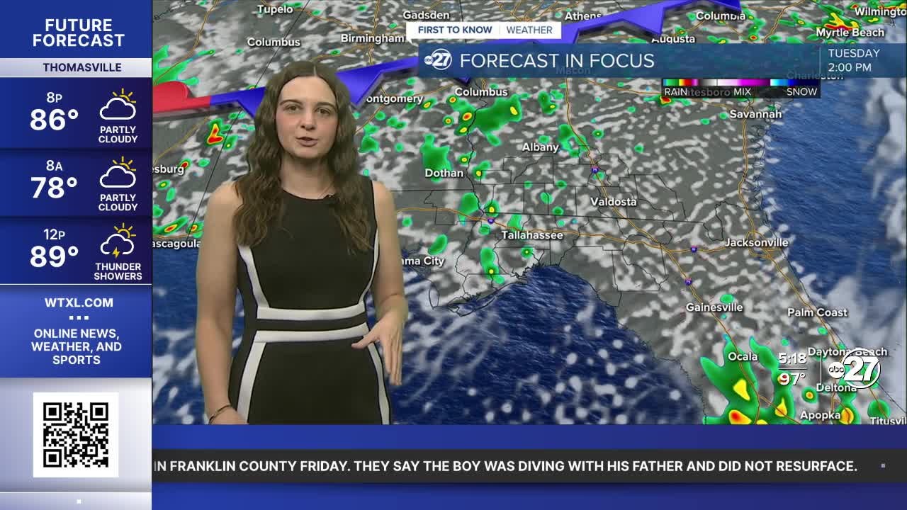


TALLAHASSEE, Fla. (WTXL) — A southwesterly wind flow is making conditions very humid throughout the next few days.
Overnight lows will only drop into the mid to upper 70s and then quickly warm up after sunrise to the 90s for highs. Feels like temperatures will range between 104-107°. We will come close to Heat Advisory criteria, but regardless if one is issued or not, a Major Heat Risk will remain in place. Keep finding ways to stay cool and hydrated!
The only relief from the heat will be scattered showers throughout the day. Tuesday will start with isolated showers throughout the morning hours before becoming scattered throughout the afternoon and early evening. The activity will be in the come and go variety with the highest chance for showers being across the Big Bend, specifically southwesterly parts.
Due to the showers moving from the southwest to northeast, those across the Suwannee River Valley and along I-75 may escape a bulk of the rainfall due to activity losing energy by the time it reaches those neighborhoods. However, with the daytime heating and moisture in place, a few showers could pop up.
Towards the end of the week, a brief drying trend will move in, so shower chances will be on the lower side.
Want to see more local news? Visit the WTXL ABC 27 Website.
Stay in touch with us anywhere, anytime.
