


TALLAHASSEE, Fla. (WTXL) — There will be a few spots of showers and thunder that interfere with select neighborhoods this evening. Most activity will stay below severe levels and be more of an inconvenience for the small number of communities affected by them ... or, depending on one's own perspective, they can be a relaxing way to start the weekend.
Evening temps will cool down faster under those isolated downpours. Elsewhere, readings for the evening will fall through the 80s and enter the 70s around or after midnight. Morning lows will be mainly in the mid 70s.
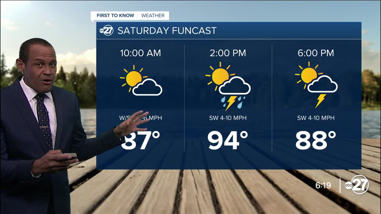
The anticipated cold front slips farther south Saturday and slows down over southern Georgia. That's where we have the best opportunity for easy-forming areas of showers and rain with embedded gusty thunderstorms. Development and coverage of rain in northern Florida will be more scattered and not as numerous in the afternoon.
Forecast highs will be lower in southern Georgia (upper 80s to low 90s) and higher in the Big Bend (low to mid 90s with a little more sunshine).
Sunday, the front meanders closer to the state line, and cloudiness will be more extensive area-wide. There will still be a few breaks of sun, with periods of passing rain, showers, and thunderstorms. Through Monday, rain totals will be up to two inches broadly speaking, with a few spots receiving over 2". Spotty, nuisance flooding is possible.
--Casanova Nurse, Chief Meteorologist
Want to see more local news? Visit the WTXL ABC 27 Website.
Stay in touch with us anywhere, anytime.
