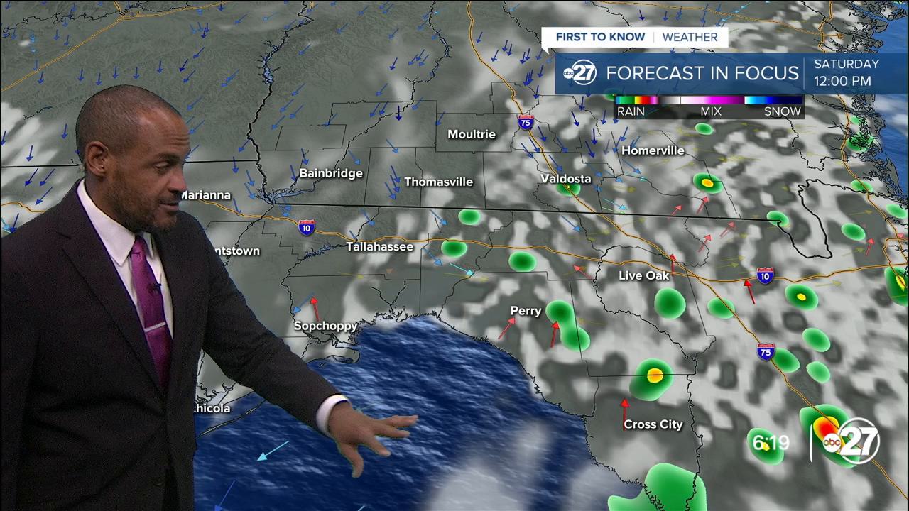


TALLAHASSEE, Fla. (WTXL) — Areas of rain lingering in parts of the western Big Bend is somewhat of an indication of how the weekend rain pattern can go; both Saturday and Sunday will have times of warming sunshine, scattered clouds, and a flare-up of showers and storms in the afternoons.
This evening, though, areas of rain will dwindle gradually through 10 p.m., with less intensity and decreased lightning count. Pockets of cloud cover will remain overnight with temperatures mainly in the 70s, and specific lows in the mid 70s.
The sun-and-cloud mix will support temps rising toward 90°, on their way to highs in the low to mid 90s and feels-like values up to 108°. The rain and storm pattern will favor the Big Bend region in the mid-afternoon, with southern Georgia pop-up thunderstorms moving southwest toward the state line in the late-day and evening.
Sunday's pattern will be similar with the highest chances for showers and thunder in the mid-afternoon to mid-evening hours.
While Hurricane Erin stays well to our east over the Atlantic Ocean, it will induce a northeast wind flow here, which is expected to cause a decrease in daily rain production around next Tuesday and Wednesday. The chances for rain will be lower, but not zero. Highs will be in the mid 90s for most of next week.
--Casanova Nurse, Chief Meteorologist
Want to see more local news? Visit the WTXL ABC 27 Website.
Stay in touch with us anywhere, anytime.
