


TALLAHASSEE, Fla. (WTXL) — It's another day of plentiful rain for some, and little to nothing for others. The scattered variety of rain is moving mostly southwest, and outflowing breezes from nearby storms can pop new ones before 9 p.m. around state line counties.
Lingering clouds will decrease as the night progresses, with expected temperatures in the 80s this evening dropping into the 70s with rain, and then broadly speaking overnight with forecast lows in the middle 70s.
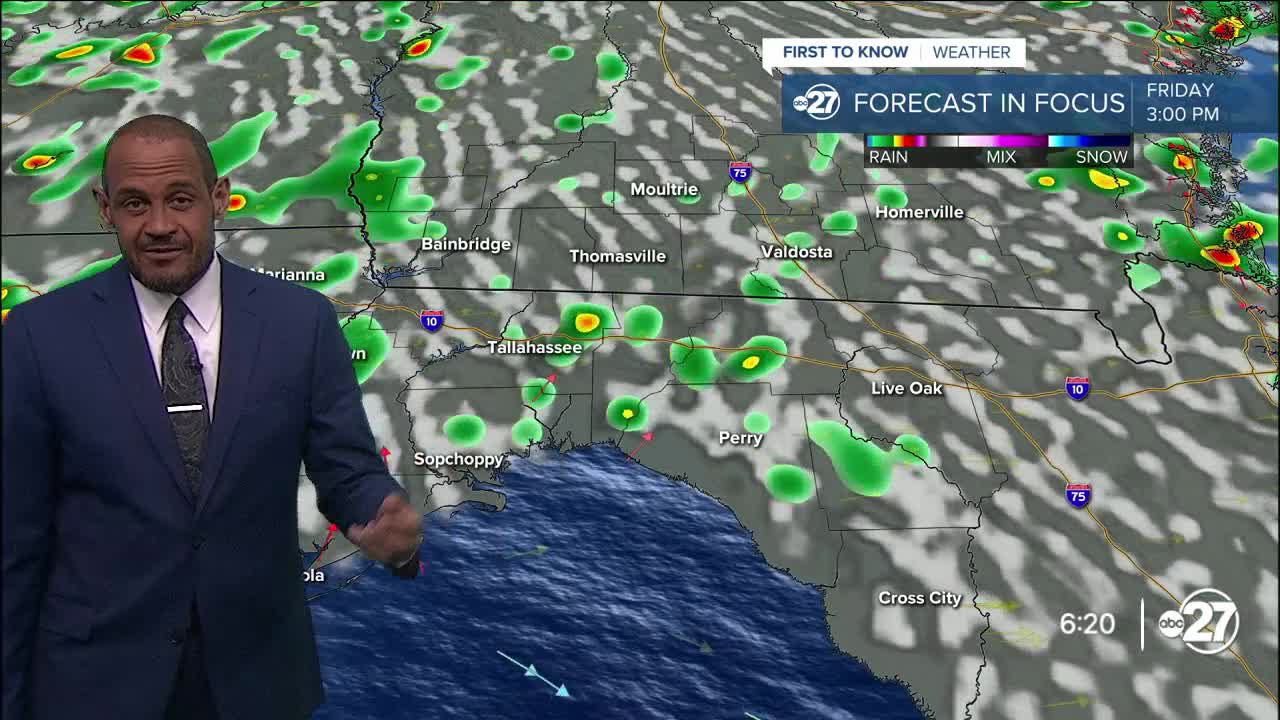
The muggy feel isn't going anywhere Friday, and neither are the pockets of showers, rain, and thunderstorms that will form with daytime heating. However, with a zone of high pressure overhead, it may attempt to decrease the amount of rain development in the afternoon. Still, what does form will soak affected neighborhoods and create frequent lightning and locally strong wind gusts.
Highs Friday will return to the low to mid 90s; feels-like values will peak near 105°.
This weekend, a modest front in southern Georgia will enhance the daily thunderstorm cycle, resulting in broader scattered coverage of afternoon and evening showers and storms. There will still be times of sunshine, and the highest rain coverage will not occur in all areas at once.
--Casanova Nurse, Chief Meteorologist
Want to see more local news? Visit the WTXL ABC 27 Website.
Stay in touch with us anywhere, anytime.
