


TALLAHASSEE, Fla. (WTXL) — Broad high pressure over the eastern U.S. continues to keep the dry influence upon our region, increasing the severity of drought conditions and keeping future rain opportunities absent through the end of this week.
We will also maintain a decent spread between cool morning temperatures and warm afternoon readings, without any legitimate cold-air source present.
This evening will end up similar to others, with areas of clear sky and steadily falling temperatures by and after sunset. We'll go from the 80s to the 60s before midnight, with morning lows ending up in the mid to upper 50s. The 60s will be common along the shoreline.
Friday features more sunshine and some passing clouds by late-morning, but sunlight will still be generous. Highs will top out in the middle 80s, and it will stay less humid.
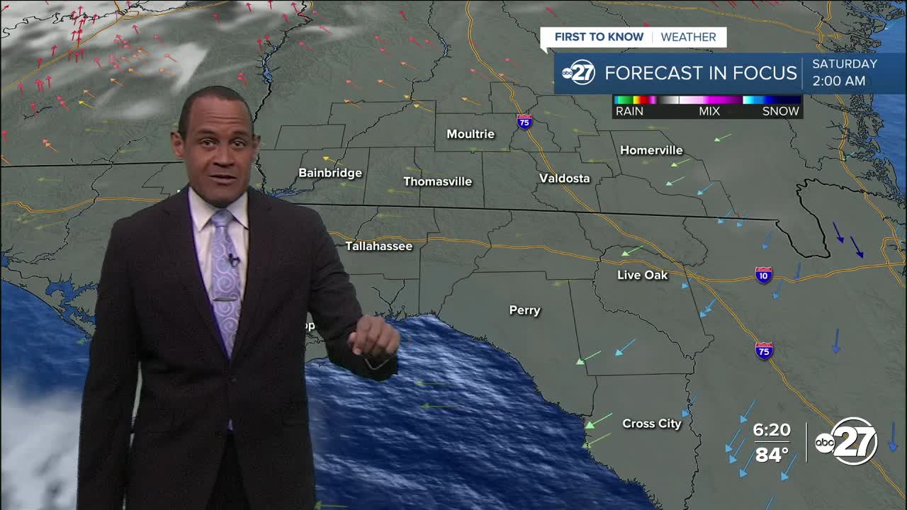
Saturday appears ideal for outside activities with more sun, few clouds, cool morning conditions, and warm afternoon temps in the 80s. No rain is expected.
Sunday, a cold front will approach with a weakening band of showers and storms. Most thunderstorms will dissipate before reaching the local region, but patches of showers and rain may cross through our landscape with limited rainfall totals.
--Casanova Nurse, Chief Meteorologist
Want to see more local news? Visit the WTXL ABC 27 Website.
Stay in touch with us anywhere, anytime.
