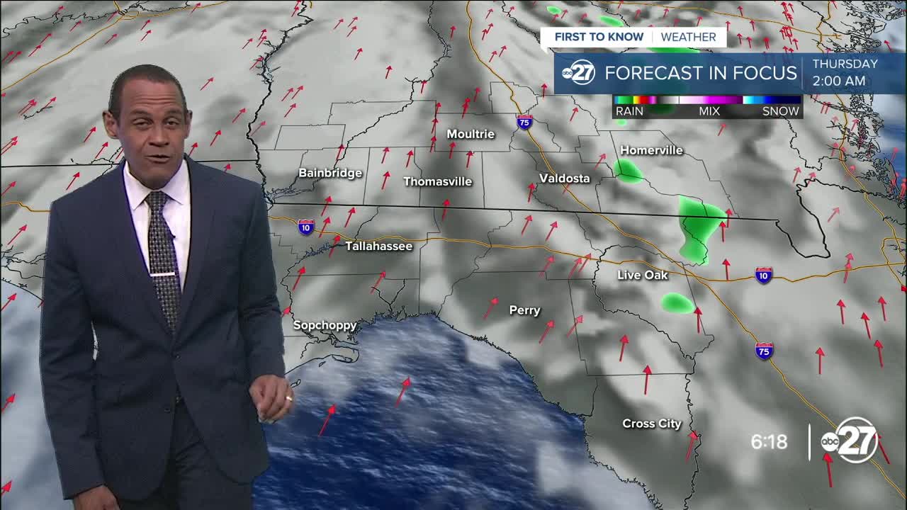


TALLAHASSEE, Fla. (WTXL) — Low pressure now over the Ohio Valley is loosening its influence on rain development in our region. Nonetheless, passing showers in the eastern sections near I-75, the Suwannee and the Withlacoochee rivers can cause a brief bout of rain for nearby neighborhoods. Otherwise, a clearing trend is expected late tonight and early Wednesday morning. A bit of patchy fog can form before sunrise.
Forecast temperatures will fall through the 70s tonight and dip into the low to mid 60s in the morning.
Those readings turn around to the 80s by midday, on their way to the upper 80s and lower 90s for highs. We will see ample sunshine with occasions of scattered clouds. A weak disturbance can clip the tri-state region in the afternoon, triggering just a couple of isolated showers.
Even a low-end rain threat goes to about zero by Thursday. A high-pressure zone in the Gulf will strengthen nearby, deflecting future cold fronts and causing a springtime hot spell locally, with expected highs in the low to mid 90s for the end of the week and early next week.
We will monitor the positioning of a front in the Deep South over the weekend; while it is not projected to come here, waves of rain and thunderstorms may affect some inland southern Georgia counties. However, the chance remains on the low side.
--Casanova Nurse, Chief Meteorologist
Want to see more local news? Visit the WTXL ABC 27 Website.
Stay in touch with us anywhere, anytime.
