


TALLAHASSEE, Fla. (WTXL) — We are back to spotty and widely scattered distribution of afternoon and evening rain and thunderstorms, soaking a select few locations and leaving many others hot and dry. Evening showers will be more possible in tri-state counties and southwest Georgia, with activity moving to the northeast.
Patchy clouds will be around in most other areas, eventually turning clearer late tonight and in the morning. Nighttime temps will be mainly in the 80s through midnight, then dropping into the mid to upper 70s for Friday lows.
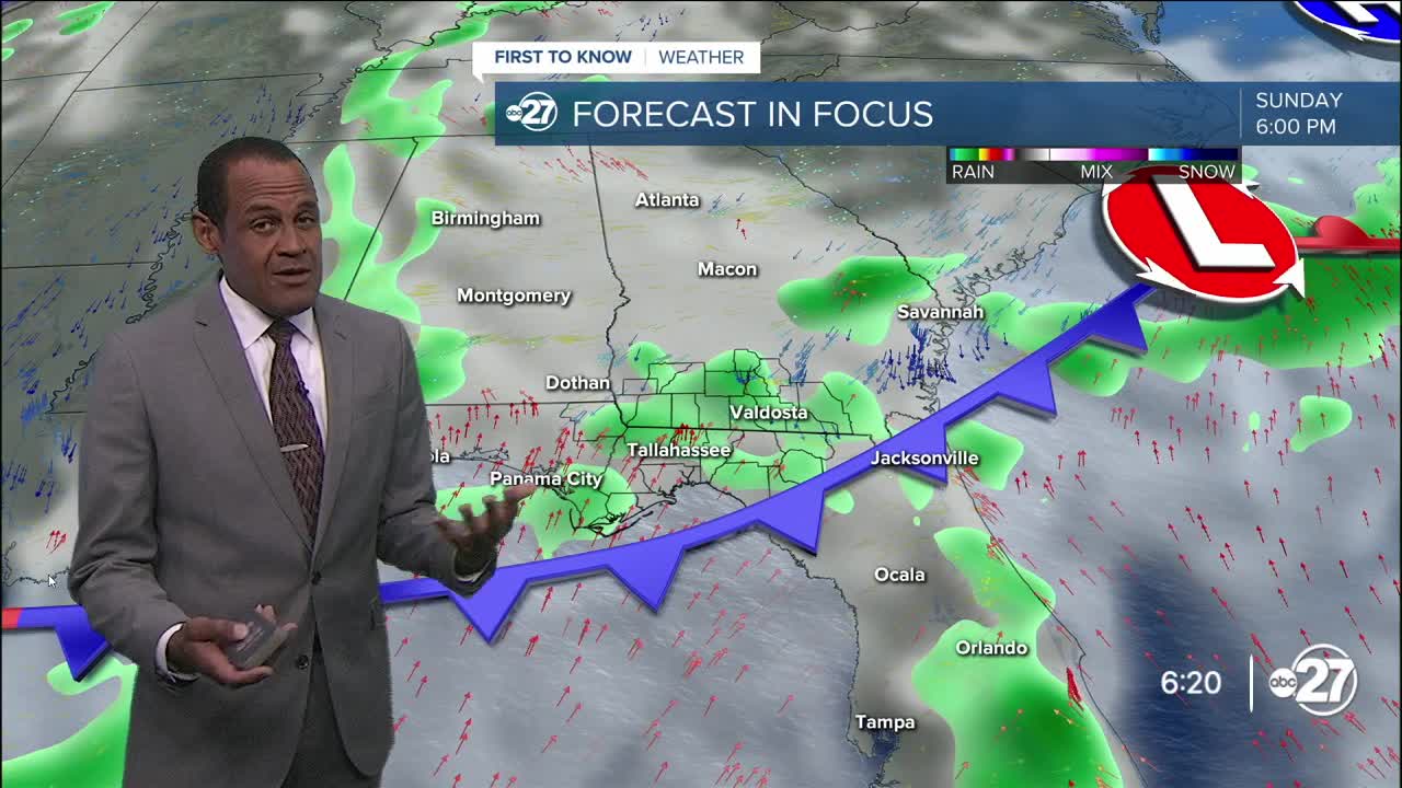
A cold front in the Tennessee River Valley will move south into Georgia through the day. Of course, it's summer, and Friday will be the first of August, so it's not expected to make a full sweep across our area. However, where it hangs up, it will provide a zone of additional rain and thunder formation. Areas most likely to encounter that will be in southern Georgia, with scattered to isolated action south of the state line.
Highs will be in the low 90s where clouds prevail to the mid 90s where there is more sun.
All areas around the Florida/Georgia state line will have times of clouds, showers, and thunderstorms over the weekend as the front lingers and meanders. This will cause partial sunshine Saturday and times of excessive cloud cover Sunday. Both weekend days provide ample opportunities for passing rain and thunder. While severe weather is unlikely, rain amounts through those days will be around one to three inches, and steady heavy rain can trigger some local flooding concerns.
--Casanova Nurse, Chief Meteorologist
Want to see more local news? Visit the WTXL ABC 27 Website.
Stay in touch with us anywhere, anytime.
