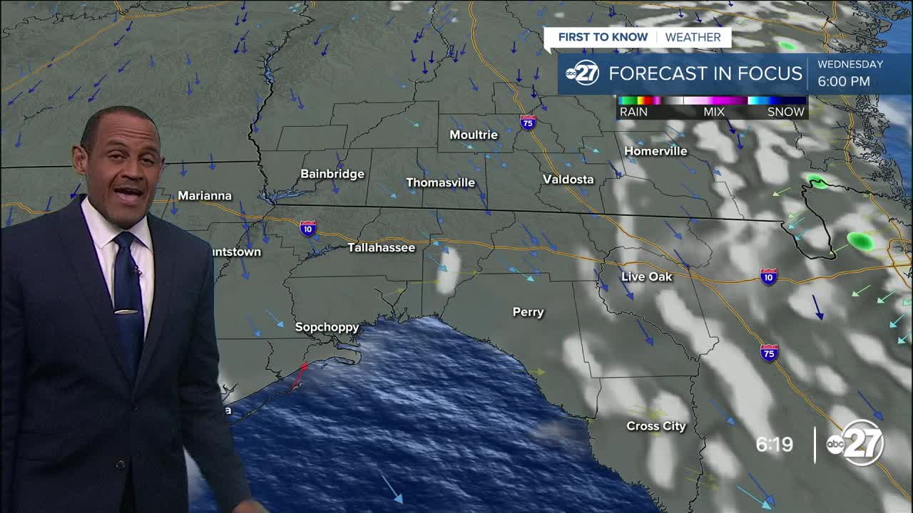


TALLAHASSEE, Fla. (WTXL) — While daytime temperatures are still seasonably hot, there's not much of a difference in how it feels outside because of less moisture and lower humidity values. The drier air has limited cloud formation and kept pop-up rain absent from the scene today.
The evening will feature clear sky and patchy cloudiness with readings going into the 70s after sunset. The 60s reappear in the hours before dawn, with low in the mid 60s north to upper 60s south and around 70° at the coast.
The dry air allows for broad sunshine and warm afternoon conditions with patchy clouds. Forecast highs will be close to average in the lower 90s area-wide. The sea breeze can bring about a few more clouds for the nearby coastline in the daytime hours, but it's doubtful we'll have any rain development.
Dry conditions this time of year tend to be brief, and this one will be no different. Thursday morning will be slightly cool, too, then we'll go back into the 70s for lows starting Friday.
Moisture will gather through the end of the week, and the upper pattern supports more clouds and showers forming later Friday and continuing off and on through the weekend. This activity will cap highs in the 80s, but there will be periods of showers and rain Saturday and Sunday.
--Casanova Nurse, Chief Meteorologist
Want to see more local news? Visit the WTXL ABC 27 Website.
Stay in touch with us anywhere, anytime.
