


TALLAHASSEE, Fla. (WTXL) — Very warm afternoon temperatures will take extra time tonight to cool down, absent any of the spotty rain activity that's been present in the eastern side of the region around the Suwannee and Alapaha river regions. It'll feel more like a summer night with considerable mugginess, partial clearing, and nighttime temps falling into the 70s prior to midnight.
Overnight, it will be mostly clear to partly cloudy with lows around the 70° mark. Upper 60s are possible well inland.
Before a cold front approaches from the northwest late tomorrow and Thursday, we will squeeze out one more summerlike day with steady morning warming into the 80s and afternoon readings topping out around 90° with blended clouds and sunshine. A couple of showers are possible close to the frontal zone in southwestern Georgia, and a few along the northeast to east wind pattern coming off the Atlantic.
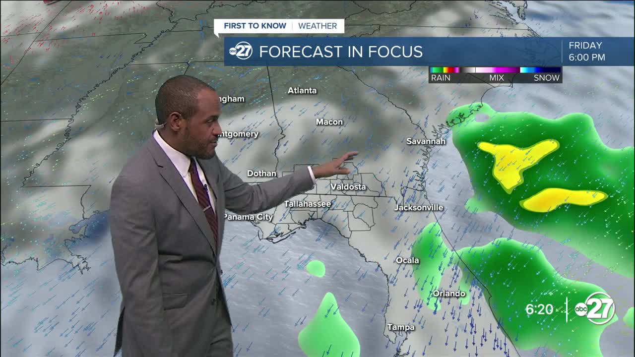
The front will allow a drop in temperatures for the end of the week, and it will cause a few scattered pockets of showers before the temp change. Eventual total coverage is about half of the area getting rain at some point in time through midday Friday. Rain amounts are expected to be light.
We get an initial push of dry air to get morning lows deeper into the 60s area-wide Friday. The dry flow will be enhanced by a disturbance that will move northeast parallel to the southeastern U.S. coastline. This will bring morning lows by Sunday into the 50s as highs will top out near average in the lower 80s with increasing sunshine.
--Casanova Nurse, Chief Meteorologist
Want to see more local news? Visit the WTXL ABC 27 Website.
Stay in touch with us anywhere, anytime.
