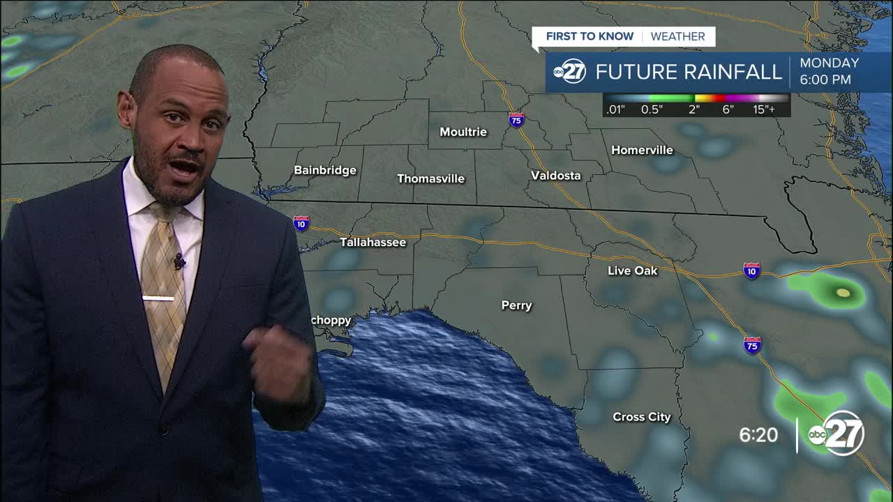


TALLAHASSEE, Fla. (WTXL) — We are seeing spotty showers late this afternoon and early this evening across sections of south-central Georgia, and they're mainly moving west-southwest, following the east-northeast wind pattern. While it's still quite humid, there's a little less moisture available and that has suppressed the amount and intensity of showers and storms so far. Patchy showers are possible around state line counties through 9 p.m with an isolated rumble of thunder possible.
Evening temperatures will go from the lower 90s to the 80s before midnight, with 70s showing up overnight or in areas of rain. Morning lows Tuesday will reach the mid 70s.
Sunshine will be abundant through midday Tuesday. Clouds will still build and scatter around, and a couple of pop-up showers and storms will be produced by the sea breeze. We'll also expect east-coast showers and storms to move west into the I-75 corridor in the afternoon, and some of those can clash with the local sea breeze to enhance isolated thunderstorm development. Highs Tuesday will be in the low to mid 90s, with feels-like values around 101° to 107°.
Hurricane Erin — well east of the region and not coming our way — will contribute to the dry trend through midweek with a zone of slightly drier and sinking air keeping rain production isolated. Toward the week's end, a front slips in from the north and drives up cloud cover and rain production starting Friday. This will help lower high temperatures over the weekend.
—Casanova Nurse, Chief Meteorologist
Want to see more local news? Visit the WTXL ABC 27 Website.
Stay in touch with us anywhere, anytime.
