


TALLAHASSEE, Fla. (WTXL) — A northeast breeze has kept moisture amounts generally low around the area, cloud cover limited with drier air in the atmosphere, and rain activity scarce and confined to isolated specks of showers that flow in from the Atlantic side of Florida.
What it means for the Big Bend and southern Georgia is simply a continuation of settled evening weather conditions, aside from the winds that will be around 10 to 15 mph at times this evening.
Readings will be in the upper 80s early on, falling into the 70s after sunset. Morning temps will level off in the mid to upper 60s for lows with a mix of clear and partly clear sky conditions.
Friday will be dry for most again, with a few stray showers possible in the afternoon. Otherwise, it will be partly cloudy and seasonably warm with highs in the middle 80s.
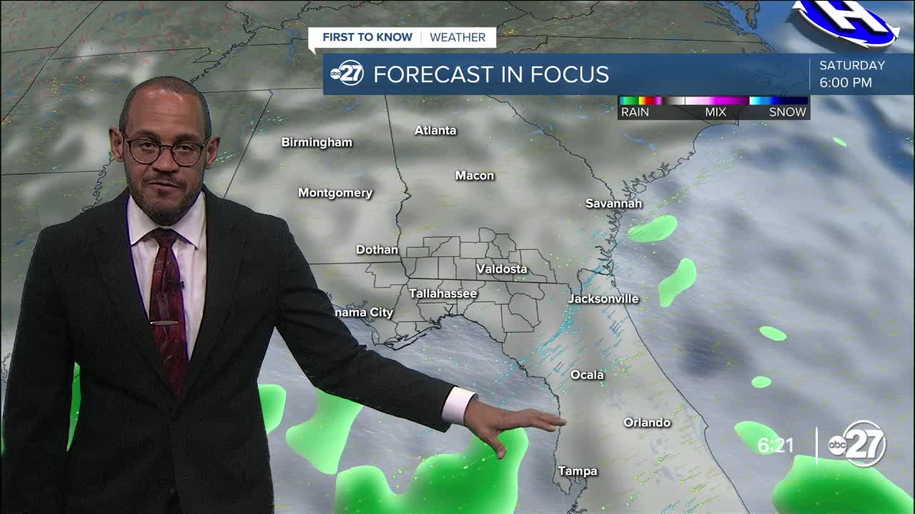
Areas of abundant moisture linger in the Florida peninsula, with a minor swirl of low pressure attached to it off the southeast coast of the state. This combination will move north to northwest through the weekend. This means our rain activity will pick up a bit on Saturday, with showers favoring southeastern counties in a scattered variety. Sunday and Monday offer the broadest rain coverage potential with a cloudy sky and a few thunderstorms in the mix. While severe weather isn't going to be widespread and the rain can be heavy at times, overall multi-day rain totals will be two inches or less. It won't be enough to wipe away local drought conditions, but some relief will be provided nonetheless.
--Casanova Nurse, Chief Meteorologist
Want to see more local news? Visit the WTXL ABC 27 Website.
Stay in touch with us anywhere, anytime.
