


TALLAHASSEE, Fla. (WTXL) — We do get some fairly warm days in the first half of October, before cold fronts become more frequent.
The next couple of days is going to be one of those occasions.
East winds are allowing some showers to advance westward in a scattered variety, causing some evening dampness in a few neighborhoods. They're temporary and not very strong, but isolated lightning is possible in the heaviest activity through 8 p.m.
Broken cloudiness will be the general rule later tonight with nighttime temps in the 70s. Faster cooling will happen under areas of rain late today.
Overnight lows will be around the 70° mark.
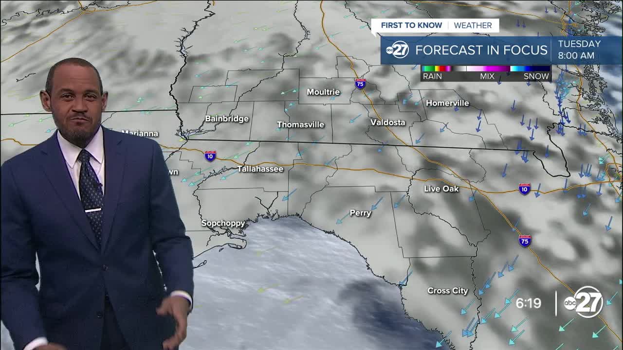
Tuesday, a stretched-out zone of high pressure will make showers and storms harder to develop, resulting in warmer afternoon conditions with a sun-and-cloud mix. Highs will be in the upper 80s to near 90°. It'll feel noticeably humid, producing a minor heat-index value in the mid 90s.
Wednesday remains on the hot side until a cold front slips closer late Wednesday through Thursday. There will be a slight increase in showers and storms triggered by the front, but it's relatively weak and active storms are not anticipated. In fact, many of us can escape any rain action from the front.
However, it will allow a drier air source to trickle in for the end of the week. This will create daytime temps capped in the lower 80s with morning lows falling into the 60s. Even drier air surging in early next week will be capable of pushing morning lows into the 50s. Scattered clouds will decrease by then, with areas of sunshine anticipated along with fewer clouds.
—Casanova Nurse, Chief Meteorologist
Want to see more local news? Visit the WTXL ABC 27 Website.
Stay in touch with us anywhere, anytime.
