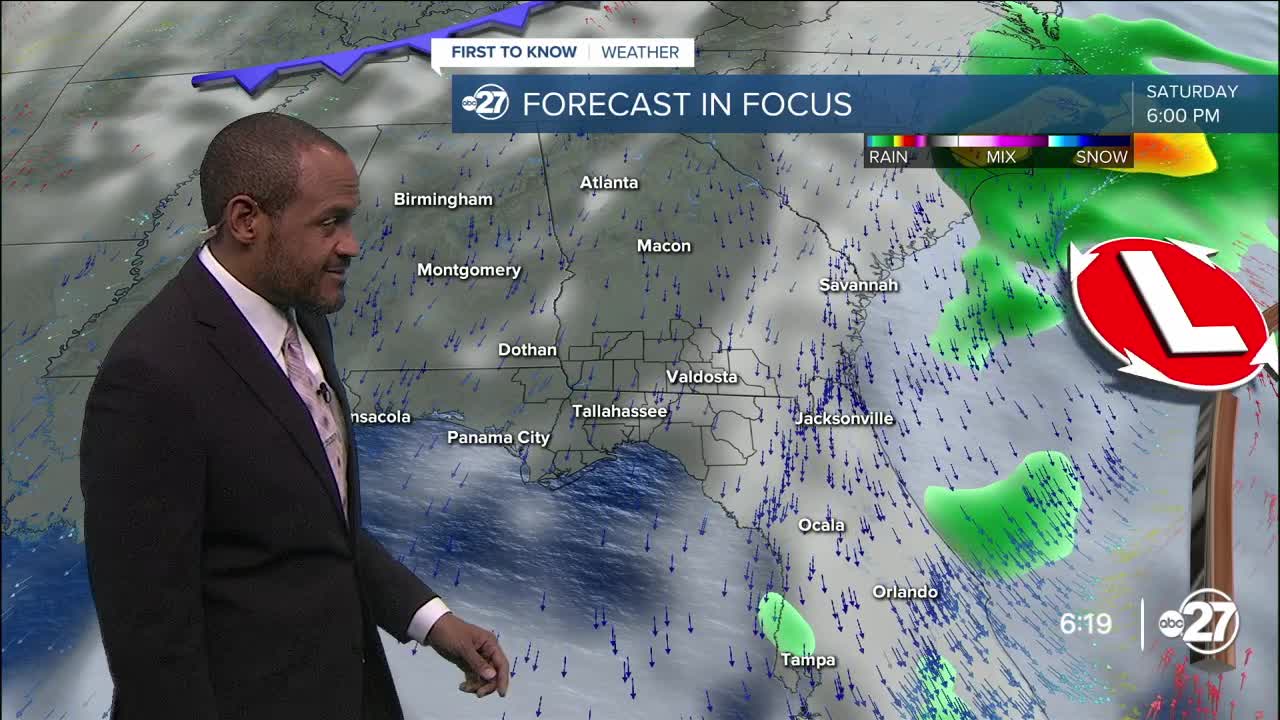


TALLAHASSEE, Fla. (WTXL) — A cold front is situated across the southeastern Big Bend, but layers of clouds are still present with a few showers embedded within them. Rain coverage is spotty and limited, and activity is moving southwestward. A few more of these types of low-impact showers will be around through the evening, creating low rain accumulations amid an increasingly parched landscape.
It will remain mostly cloudy through most of the night with isolated showers through midnight. Forecast readings will be falling from the 80s to the 70s. A stronger northeast wind flow will help in causing temps to fall into the 60s overnight, with morning lows in the low to mid 60s.
Partial clearing is anticipated Friday with isolated shower activity decreasing further to zero rain coverage for the afternoon. A noticeable breeze around 10 to 20 mph, plus leftover clouds, will slow the warming trend, so many highs across the area will be capped in the 70s to near 80°. A few more breaks of sun are likely the later we go into the day.
Winds will be brisk Saturday as well with lows in the 60s. We tap into drier air which will promote further clearing and more sunshine. Very dry air comes in on those breezes; lows by Sunday will be in the 50s in many areas away from the coast, with projected highs near average in the low to mid 80s.
While conditions stay dry with no prospects for rain and a slow return of moisture, morning temps will lean cool into next week even as highs rebound to the mid to upper 80s about one week from now.
--Casanova Nurse, Chief Meteorologist
Want to see more local news? Visit the WTXL ABC 27 Website.
Stay in touch with us anywhere, anytime.
