


TALLAHASSEE, Fla. (WTXL) — Our latest cold front is situated just to the south of the coastline, which will allow the current mild and humid setup to give way to a cooler and less humid trend later tonight and Tuesday.
Showers will exit to the southeast from the mid and lower Suwannee River region, so a drying pattern will take a firmer hold as cloud cover lingers a bit. The cooling trend will mix with leftover moisture, contributing to wider cloudiness. A few breaks of clear sky in southern sections will also likely fill in with clouds later tonight.
Evening temperatures will fall into the 60s area-wide, with 50s for morning lows.
Tuesday morning sunshine will be somewhat limited and inhibited by layers of clouds, with partial clearing possible through the afternoon. Expected highs will be in the upper 60s and lower 70s.
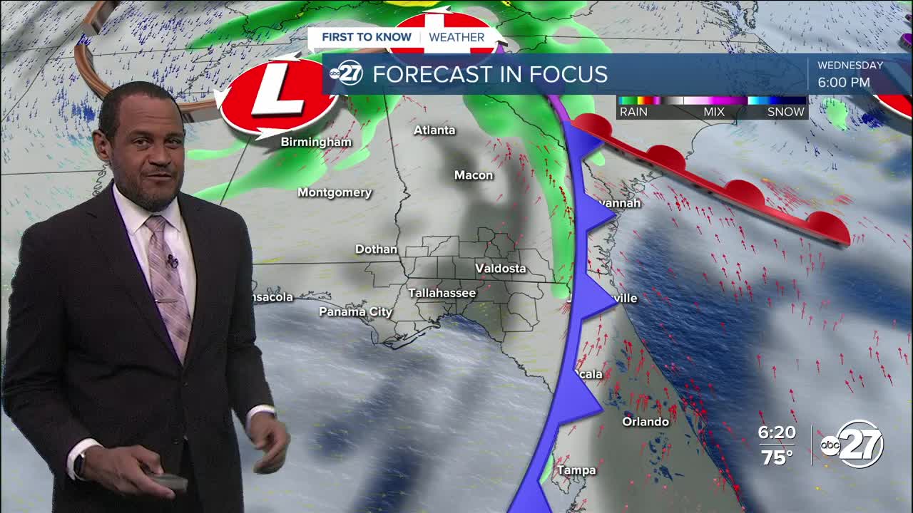
Any clearing trend will likely be brief, as another cold front sweeps through our area Wednesday with a dose of showers. The thunderstorm risk is much lower, but the arrival of the next chilly air mass will be tough to not notice, with morning lows well into the 40s for the end of the week and highs capped in the 60s. On Halloween, evening activities will occur with a clear sky and temps falling into and through the 50s.
—Casanova Nurse, Chief Meteorologist
Want to see more local news? Visit the WTXL ABC 27 Website.
Stay in touch with us anywhere, anytime.
