


TALLAHASSEE, Fla. (WTXL) — A weak low-pressure feature over central Alabama is contributing to times of heavy rain and thunder scattered around the western Big Bend and southwestern Georgia neighborhoods late today. A broken trail of this activity has made central Big Bend counties a bit soggier than others, with patches of rain likely rolling through these sections through 8 p.m. Showers and storms become more isolated through the late-night portion of time. It will be partly cloudy through the morning.
Temperatures will range from the lower 90s east to 70s in areas of rain this evening. Readings will fall to lows in the middle 70s area-wide.
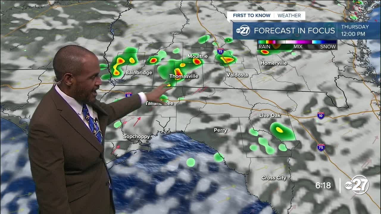
Thursday doesn't offer many distinctions in the weather setup, with trends of west to southwest winds and ample moisture in place to spark some showers and thunder by midday around the state line, developing further into the afternoon as activity goes east to northeast. Like today, a few zones of heavy rain can cause nuisance flooding in some neighborhoods.
Highs will be in the low to mid 90s with a mix of sun and clouds outside of any rainy areas.
Day-to-day variations exist in the amount of showers and storms that can form for the rest of the week and the weekend, but each day also offers times of sunshine and typically hot temperatures with forecast highs around the middle 90s.
--Casanova Nurse, Chief Meteorologist
Want to see more local news? Visit the WTXL ABC 27 Website.
Stay in touch with us anywhere, anytime.
