

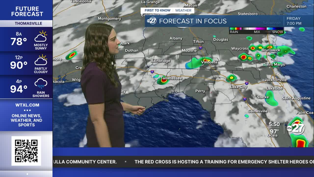


TALLAHASSEE, Fla. (WTXL) — High pressure will help bring down the afternoon shower and storm activity to a more isolated variety rather than scattered.
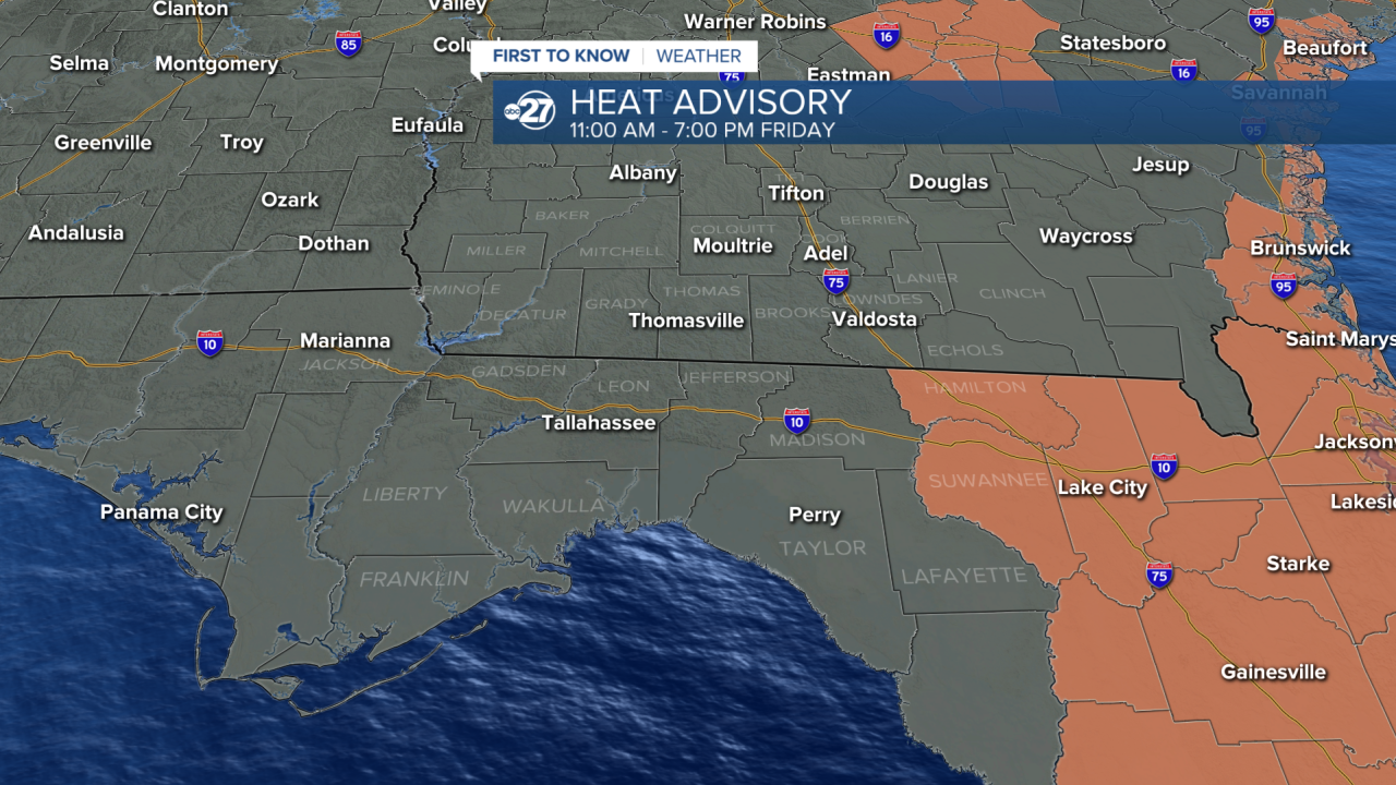
Due to less rainfall, temperatures will climb! Upper 90s are expected for most with Hamilton and Suwannee county in a Heat Advisory from 11 a.m. - 7 p.m. as feels like temperatures could reach 110°.
However, this won't last long as a front will approach from the north over the weekend and bring lots of rainfall with it. Expect scattered to numerous showers and storms that will linger into the early parts of next week. It will not be a total wash out as there will be breaks, however, the breaks will be limited.
For Saturday, expect scattered showers and storms throughout the afternoon hours approaching from the southwest. For Sunday, the bulk of the activity will hold off until the later parts of the afternoon and into the evening as this is when the front will make its approach.
Any outdoor weekend plans should have an indoor back up, stay dry!
Want to see more local news? Visit the WTXL ABC 27 Website.
Stay in touch with us anywhere, anytime.
