


TALLAHASSEE, Fla. (WTXL) — We will continue to see shower activity sprinkled in throughout Saturday evening as daytime heating continues and moisture levels remain on the higher side.
Temperatures overnight will go down into the mild low 60s.
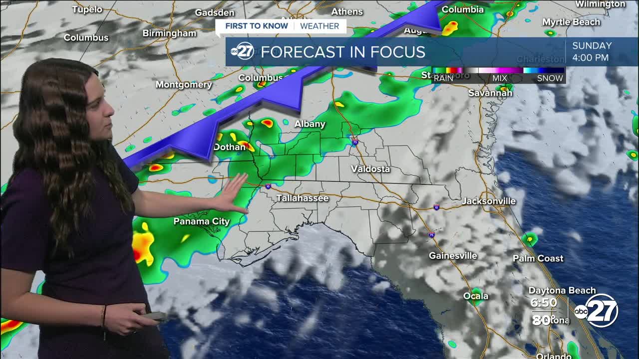
Easter Sunday is looking to start off with fair and warm conditions before a cold front approaches in the early evening. 80s and partly cloudy skies will be the feature with a handful of isolated showers possible throughout the late morning and afternoon.
By 3-4 p.m., a cold front will approach from the northwest, pushing through Bainbridge and surrounding areas first. It will then take its time moving southeast, eventually reaching the Suwannee River Valley by late Sunday night.
Showers and a few thunderstorms are expected with the front, however, severe storms look to be unlikely. Any activity will weaken as it moves through the area. So any Easter egg hunts are encouraged to be in the morning hours!
Want to see more local news? Visit the WTXL ABC 27 Website.
Stay in touch with us anywhere, anytime.
