

After storms rolled through yesterday, much calmer weather has shaped up for today as we close out the weekend. Ample sunshine throughout the day has made it feel comfortable outside, even as drier and cooler air is filtered into the area with a light breeze out of the north-northwest. A few more clouds will work their way into the region overnight as temperatures quickly drop into the 50s after sunset bottoming out in the low to mid 40s for lows tomorrow morning.
While tomorrow will be cloudier than today, skies will still remain partly cloudy for much of the day on Monday as highs reach the upper 60s. A select few locations may reach the lower 70s by the mid afternoon, but a light breeze out of the north will help keep temperatures below average across the area. Rain stays away from the region as dry air remains in place across the area with dewpoint temperatures in the 20s and 30s.
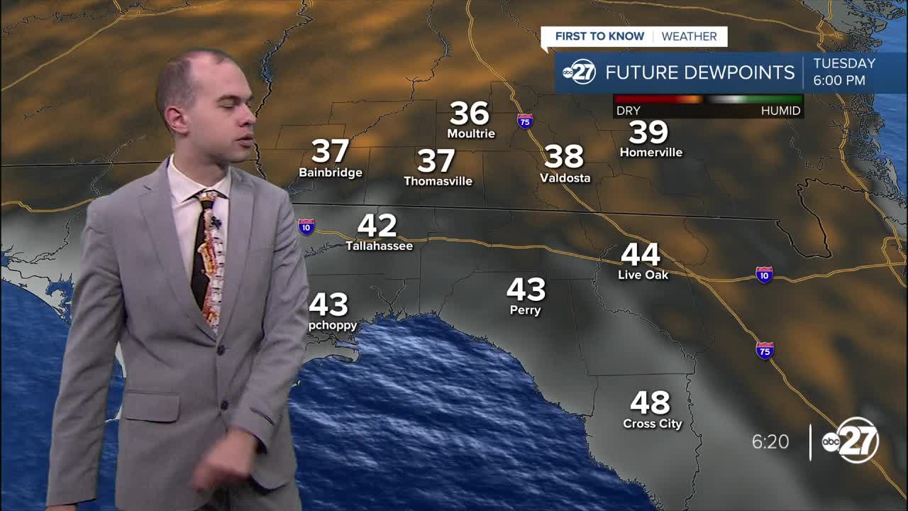
Tuesday remains dry with partly cloudy skies, although temperatures will warm into the mid 70s during the afternoon hours. Wednesday introduces a low rain chance to the area as a couple more clouds enter the region. Isolated showers and storms enter the region Thursday as highs rebound to the 80s, and more humid air works its way into the Big Bend and Southern Georgia. Scattered storms are possible Friday and Saturday along with a mostly cloudy sky, before highs reach the mid 80s over the weekend with overnight lows around 60 degrees.
