


TALLAHASSEE, Fla. (WTXL) — A strong cold front is on its way, but before we can enjoy the cooler temperatures, showers and storms need to pass through first.
Lows tonight will get down to the upper 50s to low 60s as it stays fairly humid.
A few of the showers are possible late Friday night and throughout the day Saturday. An isolated storm or two have the possibility to have fairly gusty winds and heavy downpours. Highs will remain in the upper 70s to low 80s Saturday.
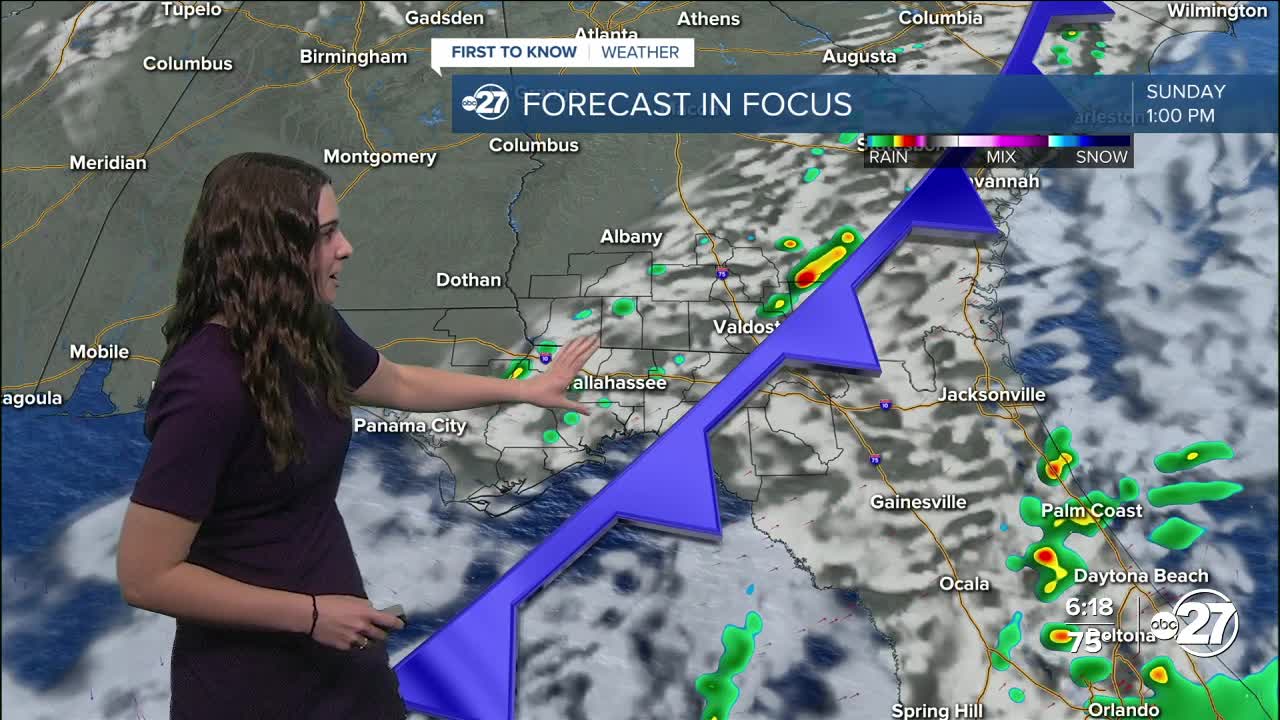
Come Sunday, more showers and storms are expected as the cold front sweeps through.
We will start to feel the cool air Sunday night with lows dropping to the 40s and daytime highs in the 50s Monday. Monday night, temperatures will drop to the 20s and 30s! Emergency shelters will be opening across the area due to the freezing temperatures.
Want to see more local news? Visit the WTXL ABC 27 Website.
Stay in touch with us anywhere, anytime.
