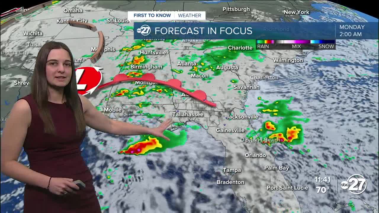


TALLAHASSEE, Fla. (WTXL) — A low pressure system with a cold front attached to it is slowly making its way towards the Big Bend and south Georgia. This will bring lots of rain as it moves through in the beginning parts of the week.
Through the rest of Saturday, however, you can expected mostly sunny skies with temperatures in the 80s, eventually cooling to the 50s and 60s overnight.
Rinse and repeat for Sunday with a few more clouds scattered across the area and a few showers possible as the sun sets.
The main story will be the cold front for both the rain ahead of it and the temperatures behind it.
Monday will be the best shot for rain, with some areas having the chance to pick up around 2" of rainfall. This front will drop temperatures back to the 70s for daytime highs, and a second cold front Wednesday, will help drop temperatures even more to 60s for daytime highs and low 40s overnight.
Want to see more local news? Visit the WTXL ABC 27 Website.
Stay in touch with us anywhere, anytime.
