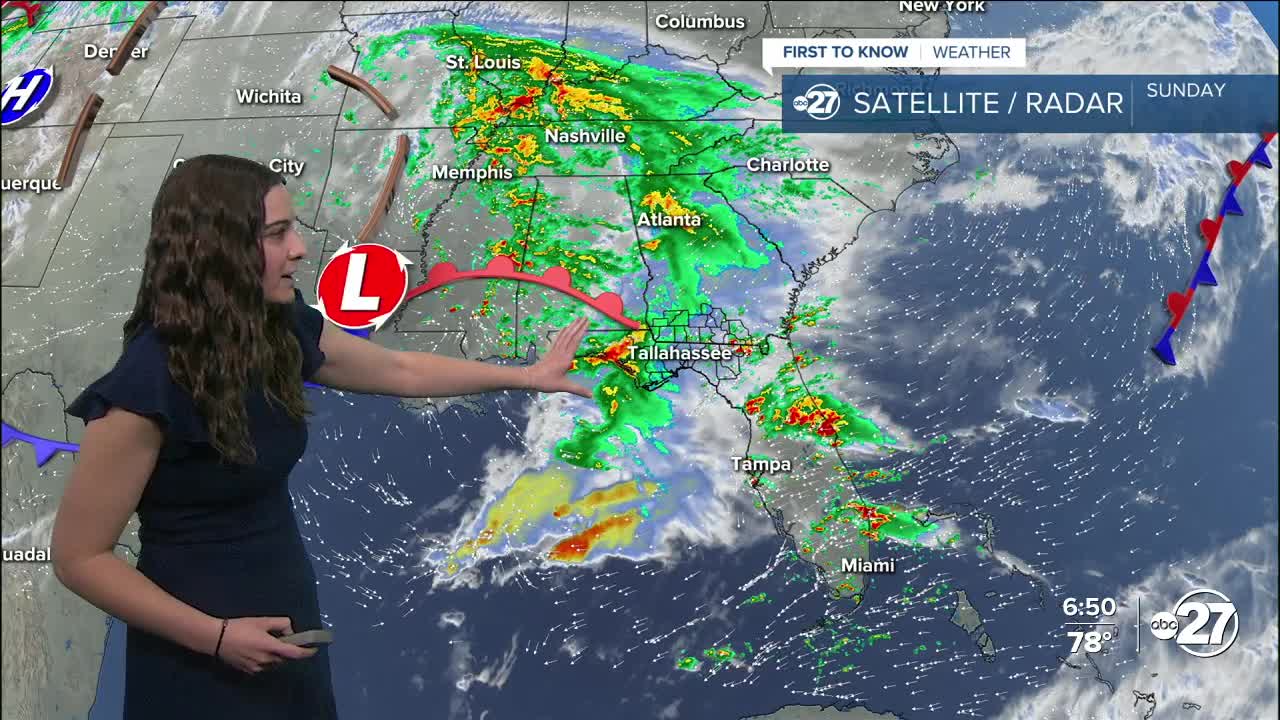


TALLAHASSEE, Fla. (WTXL) — As a frontal system slowly approaches, rain chances increase as we move through Sunday night and early Monday morning.
A few of these storms have the possibility to become severe with the main concern being gusty winds and a brief tornado. Heavy rain could also result in 1-2" of rainfall with isolated spots reaching 3-4".
We could start seeing a few showers in our western neighborhoods as early as midnight tonight with the bulk of it moving through early Monday morning between 3-6 a.m..
Make sure to drive safe on your way to work as the roads will be wet!
This is all ahead of a cold front that will drop temperatures to the 70s for highs and 50s for lows, but not for long. Another cold front is right behind it and will move through Wednesday which could provide a few additional showers.
With back-to-back cold fronts, temperatures are expected to drop to 60s for highs and 40s for lows Thursday and Friday with some northern neighborhoods hanging on to the low temperatures for Saturday as well.
Halloween is going to be a chilly one, so make sure to dress warm!
Want to see more local news? Visit the WTXL ABC 27 Website.
Stay in touch with us anywhere, anytime.
