


TALLAHASSEE, Fla. (WTXL) — Through the rest of Sunday afternoon and evening, showers and storms will linger with isolated pockets that could turn severe.
The eastern half of our viewing area is in a Marginal (level 1/5) risk of seeing isolated severe storms. The main threats would be gusty winds (40-60 mph), small hail, and isolated flooding.
Temperatures will stay on the warm side through the night with overnight lows hanging on to the upper 60s with some in the lower 70s.
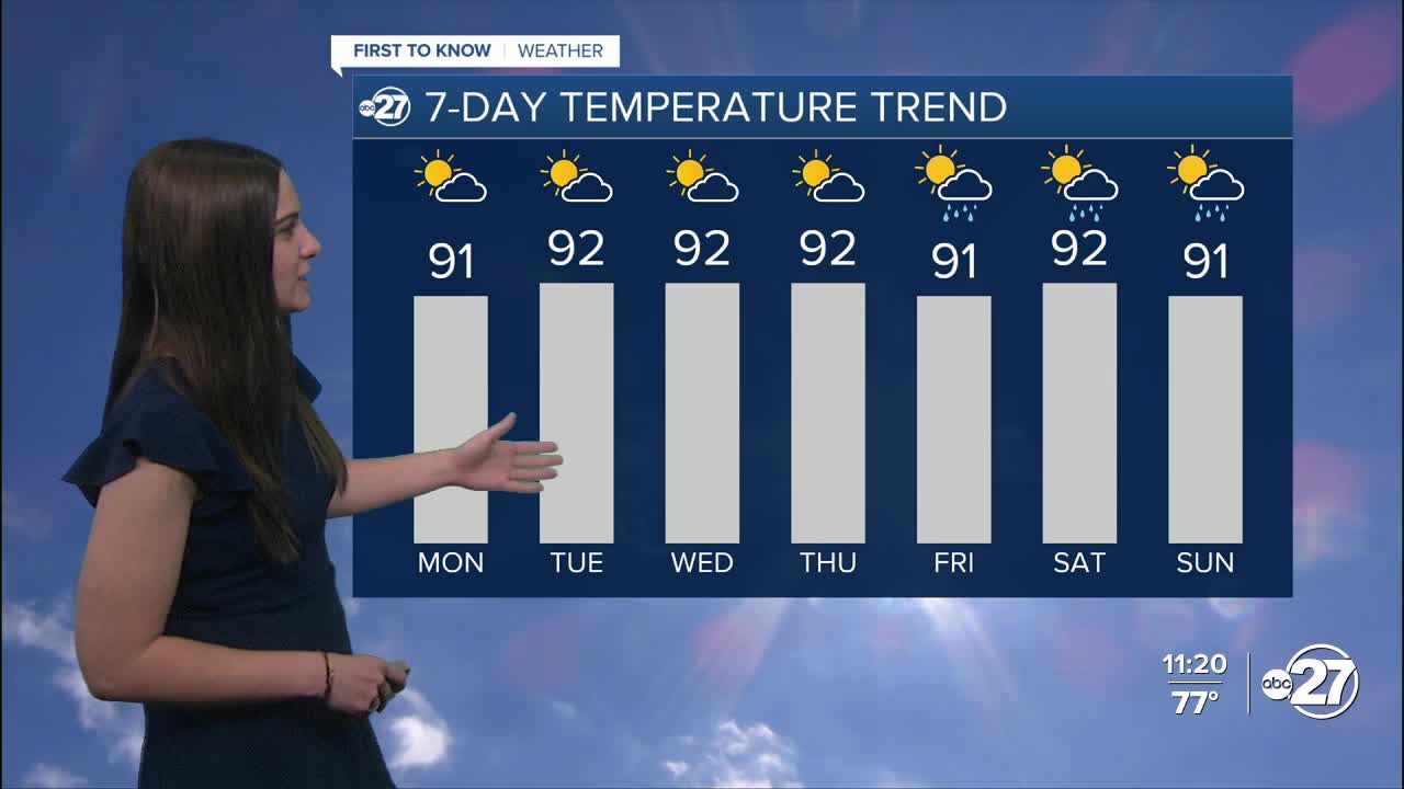
We will return to the heat Monday afternoon with highs back in the low 90s for everyone.
Isolated showers are possible through Monday afternoon and every afternoon the rest of the week, setting us up for a summer-like feel as the humidity will also be sticking around.
As we approach the end of the week, a front will approach the area, but stall just to our north. This will provide moisture and fuel for more shower and storm activity into the weekend, but activity remains isolated at this time.
Want to see more local news? Visit the WTXL ABC 27 Website.
Stay in touch with us anywhere, anytime.
