

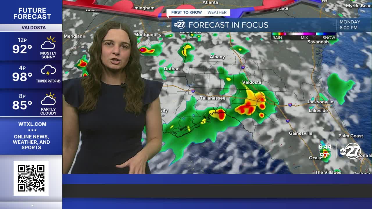


TALLAHASSEE, FL (WTXL) — A handful of storms are expected throughout the rest of Sunday, then clearing quickly through the night.
We will start off with mostly sunny skies Monday before the showers and storms join in throughout the afternoon. Isolated storms have the capability of becoming strong to severe. Due to this, our area is in a Marginal risk (level 1 out of 5) of seeing severe weather Monday. The main hazards are gusty winds, frequent lightning, heavy downpours and small hail.
The timing for the bulk of the activity is 2 - 6 p.m.

A similar unsettled pattern is expected throughout the rest of the week. This will help bring down our highs to the lower 90s, right around average.
Looking into the tropics, there are two waves to watch, however, neither will have local impacts at this time. The first is a wave about to come off the coast of Africa that has a 50% chance of development and the second is currently in the western Atlantic and has a 40% chance of development. This one has been designated as Invest 95L, but is expected to curve northward.
Want to see more local news? Visit the WTXL ABC 27 Website.
Stay in touch with us anywhere, anytime.
