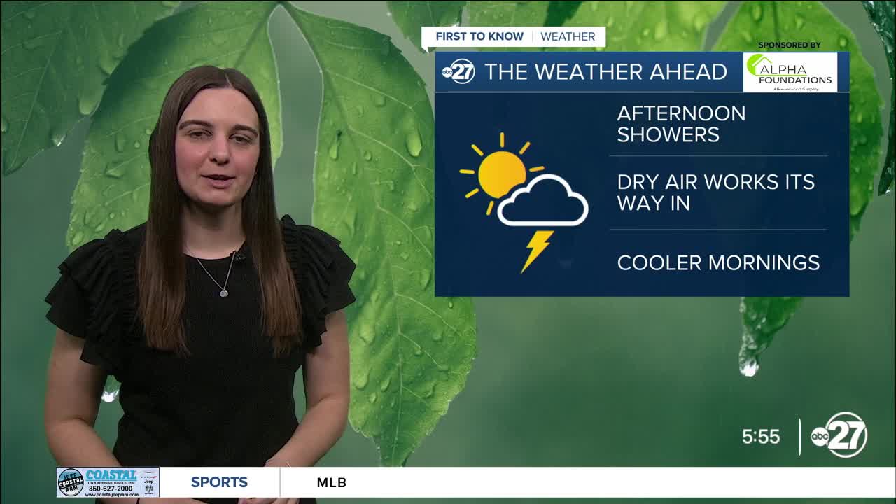


TALLAHASSEE, Fla. (WTXL) — With a stationary front still stalled to our south, moisture is still present and will help showers pop up through the afternoon.
These showers will once again hug the Big Bend and specifically southeastern counties. Highs will drop to the mid to upper 80s across the board.
As we move throughout the rest of the week, the forecast calls for warm days and cooler nights.
Dry air will start to move in Wednesday decreasing rain chances through the rest of the week and through the weekend with lots of sun to be had.
Although highs will be climbing to the low 90s, overnight lows will sit comfortably in the 60s.
Want to see more local news? Visit the WTXL ABC 27 Website.
Stay in touch with us anywhere, anytime.
