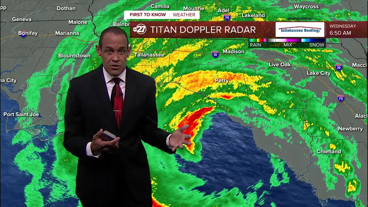
TALLAHASSEE, Fla. — Hurricane Idalia is expected to strike the Florida coast as a Category 3 major hurricane and move over the Tallahassee region over a 12-hour period starting at 2 a.m. Wednesday morning.
Idalia will not be a long-duration event, but the most severe parts of the storm will likely move through the Tallahassee region.
Here’s a look at what to expect as the storm moves through the area.
3 a.m.
The northern edge of Hurricane Idalia should be approaching the Wakulla County coastline. As it does, rain will become steadier and move from south to north. Winds will come from the east and northeast through the early stages of the storm making landfall.
7 a.m.
The eyewall will be near the coastal areas in Franklin and Wakulla County as it continues to move northeast into the area.
The eyewall will have the strongest winds of any part of Hurricane Idalia. Sustained wiill be over 100 miles per hour as the storm makes landfall somewhere along the coast from Wakulla County to Taylor County. The strongest winds will be in a roughly 25 mile radius around the eye of the storm. It is possible the winds will be weaker on the west side of the storm.


Winds can also wrap around the circulation and that could impact Leon and Wakulla Counties, especially the eastern edge of both.


Noon
By midday, the storm will be moving quickly through the region and into southern Georgia. As it moves through, the winds will shift direction several times depending on your proximity to the eye.
2 p.m.
Early Wednesday afternoon, Idalia should be well on its way into the southern and interior parts of Georgia. The winds in the Tallahassee area will reverse and come in from the west. That will bring in drier air and winds will slowly come down throughout the afternoon.


