

TALLAHASSEE, Fla. (WTXL) — A very dry day is underway across the Big Bend and Southern Georgia with no rain on the radar and dew point temperatures in upper 60s. This is helping to keep feel-like temperatures within a few degrees of the actual temperature, keeping us from hitting heat advisory criteria even though temperatures are in the 90s across the region. We've seen lots of sun across the area today, and should expect to see minimal cloud cover into the night. Highs are topping out in the mid 90s this afternoon, with overnight lows dipping into the upper 70s overnight.
Passing clouds early this evening will make way for clearing skies tonight, waking up to abundant sunshine tomorrow morning. While lots of sun will help warm temperatures into the 90s by noon tomorrow, relatively low humidity for August will keep feel-like temperatures from getting excessively hotter than the actual temperature. Highs tomorrow will rise into the mid 90s with the chance for an isolated storm later in the evening. Most of the region will remain dry, however, with some passing clouds working their way into the region late afternoon.
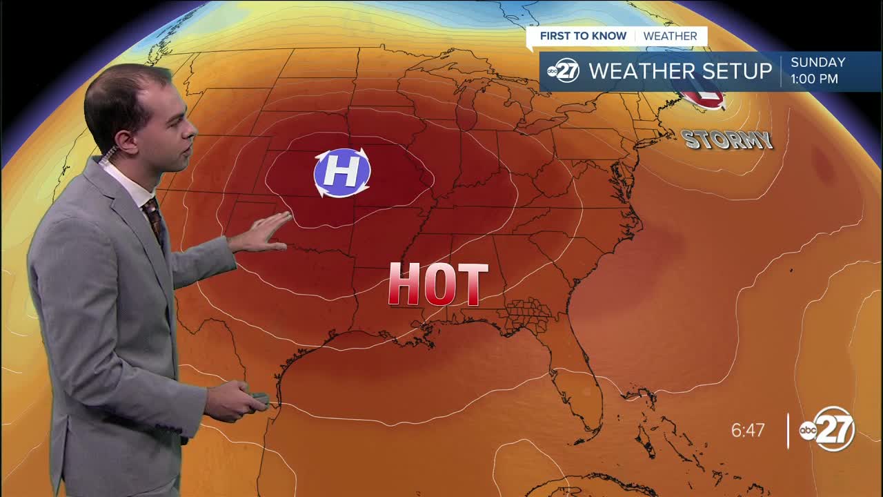
In the long run, high temperatures will be threatened with new records midweek, with a dominating high pressure soaring temperatures into the triple digits. Humidity will be relatively low throughout the week, helping actual temperatures to surpass the century mark.
