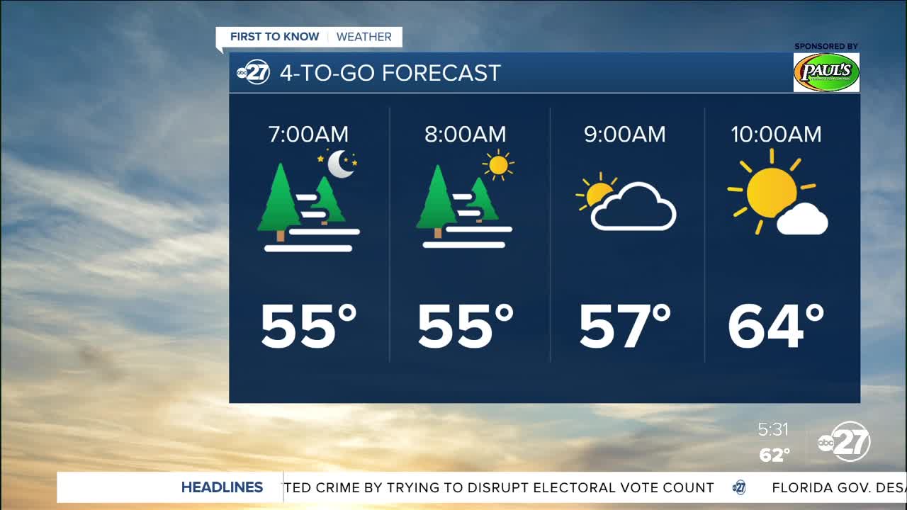
Good Tuesday morning! Areas of patchy to dense fog can be expected for the morning commute. Give yourself some extra time and take it slow if you do happen to encounter any fog! It'll be cool early this morning with temperatures in the 50's. However, that cool-feel will be quickly replaced by warmer air as the day progresses. Expect high temperatures to climb into the mid 80's! Sunshine will prevail alongside a few scattered clouds this afternoon.
Wednesday will trend dry and warm but with more cloud cover. High temperatures will be in the low 80's. As moisture continues to move into the area, it'll feel humid on your Wednesday. And, it'll be quite windy, especially in the afternoon!
Our next system will impact us on Thursday. A line of rain and storms will push through South Georgia and the Big Bend. Some storms could turn severe, with gusty winds being the primary concern. A brief tornado cannot be ruled out, as well.
An overall unsettled pattern looks to stick around through the weekend. Saturday will likely be the wettest with the return of more widespread rain and storms.


